Donnie Creek wildfire activity increases after rainfall
Firefighters responding to the Donnie Creek wildfire are expecting conditions to get dry again due to minimal rainfall over the weekend.
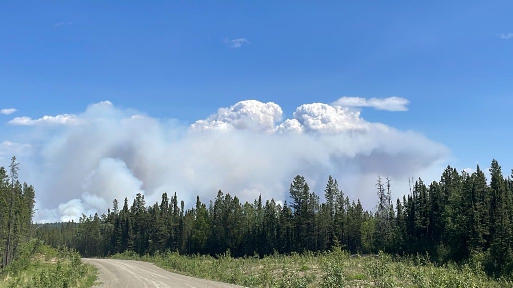
FORT ST. JOHN, B.C. — Firefighters responding to the Donnie Creek wildfire expect conditions to dry again due to minimal rainfall over the weekend.
Davin Richmond, fire information officer with the BC Wildfire Service (BCWS), said parts of the fire received between five and nine millimetres of rain last week, while others received more or less due to the fire covering such a large area.
The Donnie Creek wildfire, part of the Donnie Creek Complex, remains out of control at 583,153 hectares.
Looking for something to do?
Check out our new Events Calendar!
The fire information officer said fire activity had increased in some areas, specifically on the fire’s east flank.
Richmond also mentioned that members of the public may see different smoke columns visible in the fire’s perimeter because there are still areas of unburnt fuel within the fire’s edges.
On Monday, there are 20 contract firefighters, two contract fallers, two BCWS initial attack crews, support staff, three pieces of heavy equipment, a water tender on standby and three helicopters working on the Donnie Creek wildfire.
Richmond said operations are focused on the fire’s south flank along the areas that do not yet have containment lines.
Latest Stories
“Our crews that we have assigned in reserves to Donnie Creek are being placed on portions of the fire where they can work to achieve actionable objectives on the southern flank,” Richmond said.
The Donnie Creek Complex comprises the Donnie Creek, Klua Lakes, Muskwa River, Zaremba Creek, Beatton River, Milligan Hills, Fontas River and Kahntah River wildfire.
The Beatton River wildfire, discovered on July 10th, has been extinguished.
The Tooga Creek wildfire grew to around 41,883.2 hectares, and an evacuation alert remains in place for the area.
The wildfire nine miles east of 845, discovered on July 5th, is now classified as being held.
The area restriction around the South Peace Complex was rescinded on July 6th.
The air quality is at a low risk in Fort St. John. The latest information on air quality can be found on the Government of Canada’s website.
For the latest information on evacuation orders and alerts, visit the Peace River Regional District’s, Tumbler Ridge’s and Northern Rockies Regional Municipality’s websites.
For the latest wildfire information, visit BCWS’ website.
Stay connected with local news
Make us your
home page
Authors

Related Articles
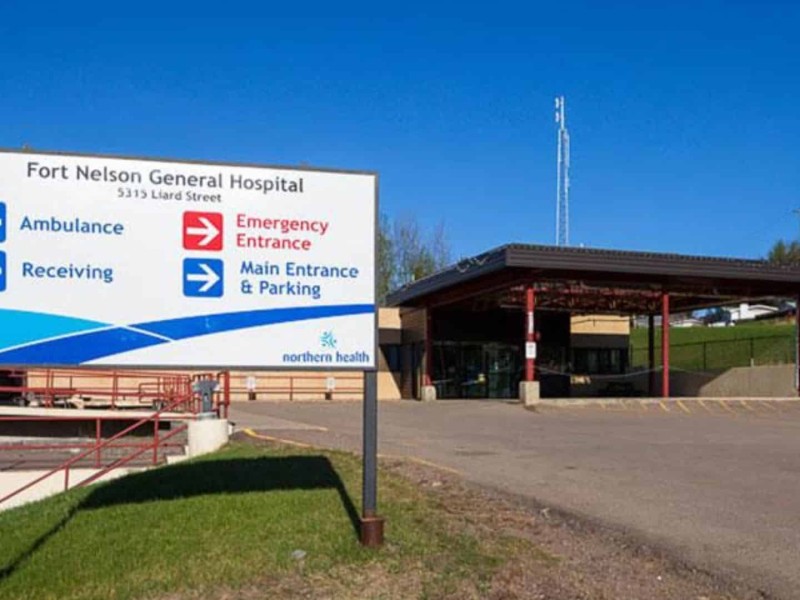
Staffing challenges necessitate diversion at Fort Nelson General Hospital
The closure will last until 7 p.m. on Sunday, May 3rd, according to Northern Health.
Energeticcity.ca Weekly Review: Youth Athlete of the Month
In this edition of the Weekly Review, the Youth Athlete of the Month is back. Plus, the most-read stories of the week.
(UPDATE) Baldonnel fire now listed as ‘under control’, according to BCWS
The four-hectare wildfire was reported during the evening of Saturday, May 2nd
