Record-breaking Donnie Creek wildfires continues to grow
The record-breaking Donnie Creek wildfire has grown to approximately 574,511 hectares.
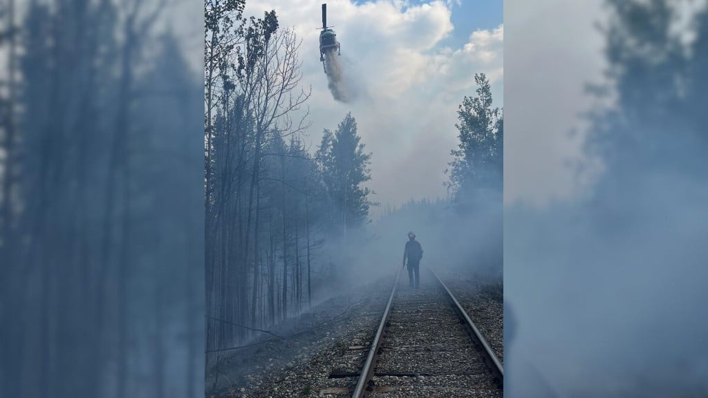
FORT ST. JOHN, B.C. — The record-breaking Donnie Creek wildfire has grown to approximately 574,511 hectares.
Nicole Bonnet, fire information officer at the Donnie Creek Complex, said 158 firefighters, 17 operational field staff, 17 helicopters, 33 pieces of heavy equipment and 13 structure protection personnel are working on the wildfire on Monday.
The Donnie Creek Complex consists of the Donnie Creek, Muskwa River, Klua Lakes and the Zaremba Creek wildfires.
Local News Straight
to Your Phone
Download our app today!
Available on Android and iOS devices
Bonnet said crews are working on the fire’s south flank, where the fire has the highest potential to negatively impact communities and critical infrastructure.
Crews are working on a machine guard to tie it into the natural guard of Grewotsch Creek.
A guard is a wide path or dirt road where all fuel is removed and can be achieved by hand or machinery for larger guards, also known as a control line.
Once the control line is completed, the fire information officer said crews will look for opportunities for small-scale hand ignitions.
Latest Stories
She said danger tree assessors are also in the area. Danger trees are trees that could fall and cause damage to infrastructure or hurt people.
Crews are working off the 123 Road, moving east to extinguish hot spots.
Bonnet said crews are putting machine guards and hose lay in the Beatton Creek and Tommy Lakes Road areas.
The Peace River Regional District rescinded evacuation orders on June 18th, but some evacuation alerts remain in place. An area restriction is also still in place around the wildfire.
The Klua Lakes wildfire is approximately 37,869 hectares, and the Muskwa River wildfire has an updated size of roughly 20,292 hectares.
Bonnet said crews are monitoring those fires because they are focusing on the Donnie Creek wildfire but have the resources to reassign crews if needed.
The Zaremba Creek wildfire was discovered on June 24th and is believed to have been caused by lightning. It is approximately 272 hectares.
The fire information officer said the Alaska Highway is not currently being affected by the wildfires but reminded travellers to check DriveBC.ca for the latest information.
Three new wildfires were sparked in the region on Sunday and Monday, all under one hectare in size.
A fire south of Rocky Creek is out of control and suspected to be naturally caused. Another blaze near Jackfish Lake is under control and suspected to be naturally caused, while a wildfire near Farrell Creek Road is out of control and is suspected to be caused by humans.
The Tooga Creek wildfire grew slightly to about 36,445 hectares, and an evacuation alert remains for the area.
The Elleh Creek wildfire discovered on June 23rd is out of control and grew to approximately 112 hectares.
The fire north of Muskwa River discovered on June 22nd grew to 33.2 hectares and is out of control.
There are 24 active wildfires in the Prince George Fire Centre.
The special air quality statement issued in northeastern B.C. was reissued on June 20th.
The air quality is at a moderate risk in Fort St. John.
For the latest wildfire information, visit BCWS’ website.
Stay connected with local news
Make us your
home page
Authors

Related Articles
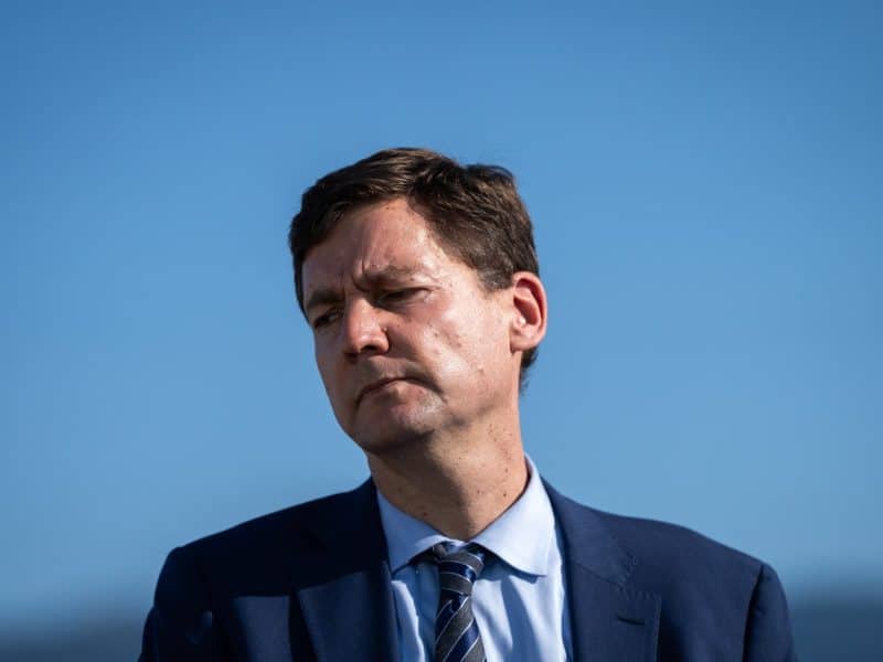
‘Absolute betrayal’: First Nations blast Eby in leaked transcript of DRIPA meeting
A leaked transcript of a meeting between Indigenous leaders and British Columbia Premier David Eby, about his plan to suspend the province’s Declaration on the Rights of Indigenous Peoples Act,…

Award-winning Indigenous activist to be keynote speaker at Spark conference
Ashley Callingbull is an actress, model and First Nations activist who will make a keynote appearance at the Spark Women’s Leadership Conference in Fort St. John in 2026.
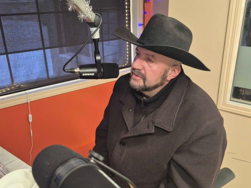
Peace River North MLA to meet with minister about Taylor Bridge
Peace River North MLA Jordan Kealy said he is in the process of scheduling a follow-up meeting with Mike Farnworth, B.C. minister of transportation and transit, to discuss the Taylor Bridge.
