UPDATE: Evacuation order issued for Tumbler Ridge
The District of Tumbler Ridge has issued an evacuation order the entire community due to the West Kiskatinaw River wildfire.
UPDATE (June 8th at 4:43 p.m.): The evacuation order now includes sparsely populated areas north of the District Tumbler Ridge municipal boundary, between Highway 29 South and Highway 51 North, including Moose Lake and Moose Lake Forest Road.
UPDATE (June 8th at 3: p.m.): Highway 52 East is closed between Highway 2 and Quintette Mine Road, and Highway 52 North is closed between Brassey Road and MacKenzie Way
UPDATE (June 8th at 2:55 p.m.): Tumbler Ridge has issued an evacuation order for the district.
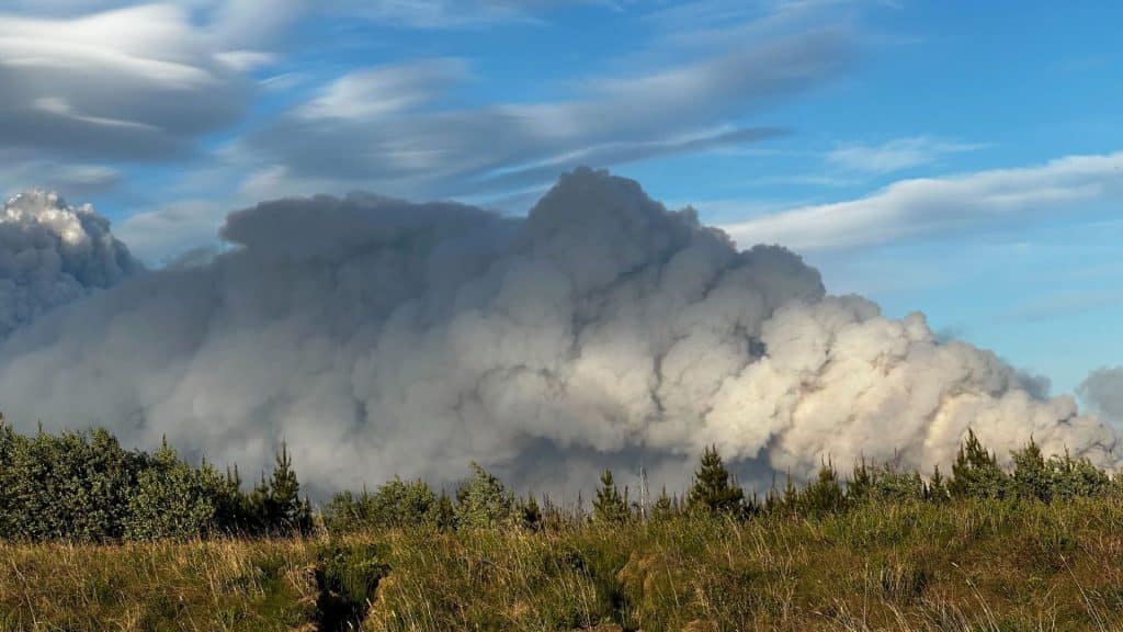
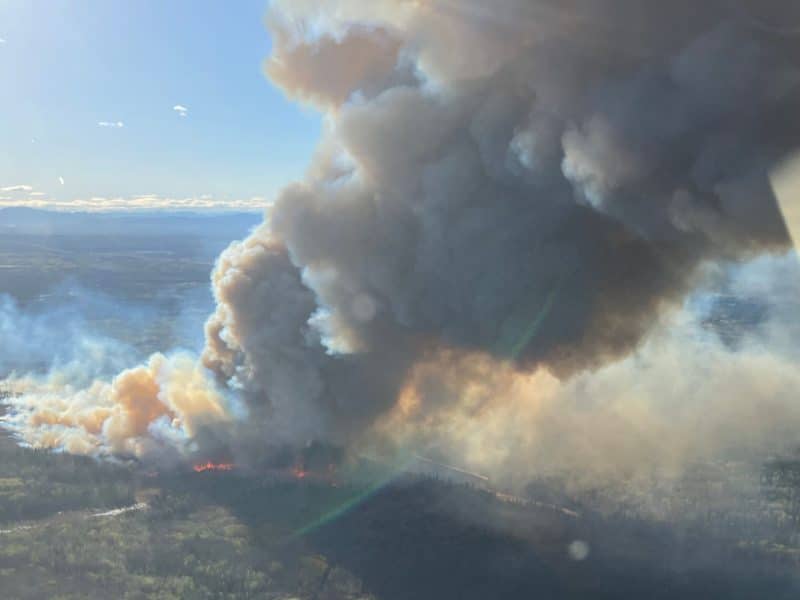
TUMBLER RIDGE, B.C. — The District of Tumbler Ridge has issued an evacuation order, while the Peace River Regional District has expanded its order for the 15,000-hectare West Kiskatinaw River wildfire.
Residents of Tumbler Ridge and east, including Bearhole Lake, are being asked to evacuate the area immediately and report to the reception centre at the Ovintiv Events Centre in Dawson Creek.
Evacuees are being asked to travel to Dawson Creek via Highway 29 or Boundary Road. Those unable to evacuate are being asked to call 9-1-1.
The RCMP is working closely with multiple partners and phone lines are very busy. We ask that you refrain from calling 9-1-1 unless there is an emergency or you are unable to evacuate.
Latest Stories
Highway 52 East is closed between Highway 2 and Quintette Mine Road, and Highway 52 North is closed between Brassey Road and MacKenzie Way due to the wildfire.
As of Thursday evening evacuees are being asked to head to Fort St. John and the Pomeroy Sport Centre for Emergency Support Services. Residents were first sent to Dawson Creek, but hotels in the community are full. Any evacuees that don’t need support are still asked to register by phone at 250-794-3310.
The PRRD says residents in the following areas are now being asked to evacuate:
- Along Highway 52E between km 220 (Cutbank Dam) and km 195
- Following the Kiskatinaw River west to south of Bearhole Lake and including Bearhole Lake Road to the District of Tumbler Ridge boundary
- North following the Tumbler Ridge boundary to Hwy 29S, including Moose Lake and Moose Lake Forestry Service Road
- North following the Tumbler Ridge boundary to the east side of Highway 52N
- North following Highway 52 N, on the east side of the Highway (not including the highway) to the northernmost intersection of the Moore Road (Approx. Km 33 on Highway 52N)
- West following Halfmoon Creek, Oetata Creek to the Kiskatinaw River to a point of intersection at the Cutbank Dam at Highway 52E
Areas previously asked to leave remain under an evacuation order, including One Island Lake.
Stay connected with local news
Make us your
home page
Authors

Related Articles
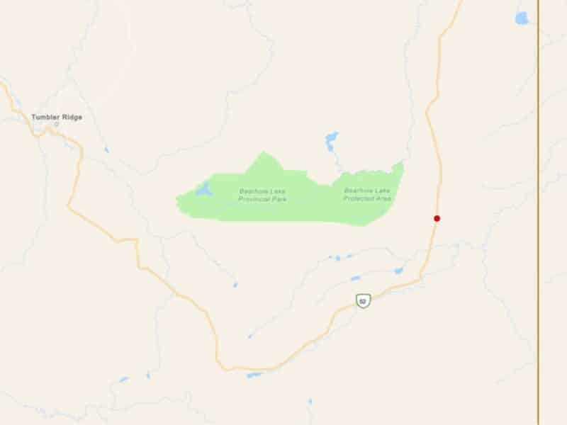
(UPDATE) Wildfire reported near Bearhole Lake Provincial Park
A wildfire has been reported near Bearhole Lake Provincial Park, adjacent to Highway 52.
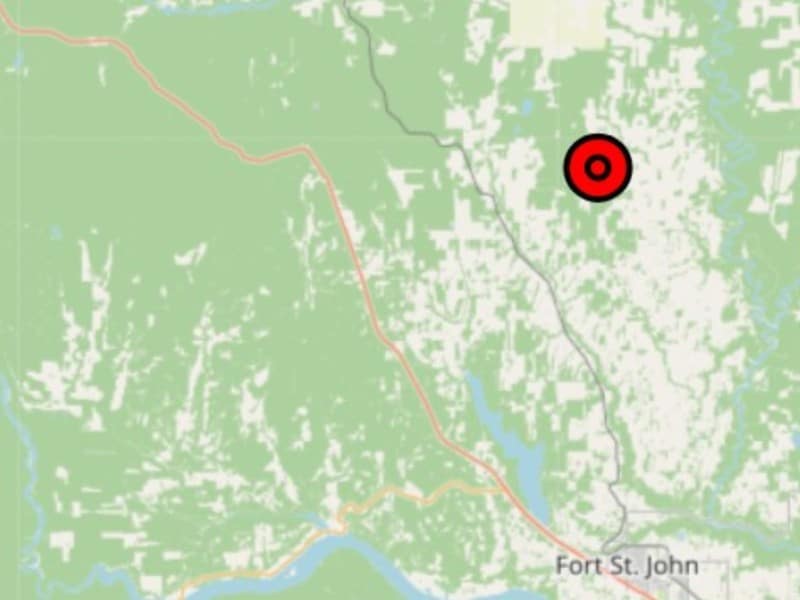
(UPDATE) BCWS fights wildfire north of Fort St. John
The one-hectare wildfire was reported during the afternoon of Wednesday, May 13th.
Windy Creek wildfire ‘under control’ at 206 hectares
The BC Wildfire Service has brought a 206 hectare wildfire northeast of Chetwynd under control after two days.
