UPDATE: Out of control wildfire near Chetwynd results in Highway 97 closure
The fire has grown from eight to 76 hectares after it was discovered between Stone Creek and Dokkie Subdivisions at 3:42 p.m. on Wednesday, April 24th.
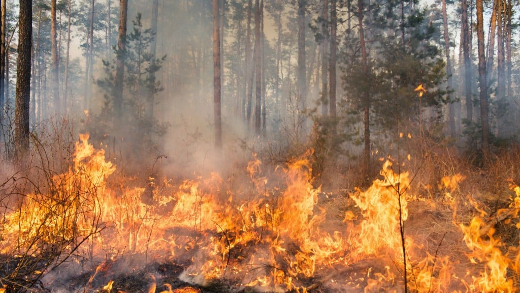
Update: The wildfire now stands at 76 hectares, according to the BC Wildfire Service
CHETWYND, B.C. — A wildfire is burning out of control south of Chetwynd, according to the BC Wildfire Service.
The Peace River Regional District and District of Chetwynd have issued an evacuation order in relation to this fire.
Local News Straight
to Your Phone
Download our app today!
Available on Android and iOS devices
The fire has grown from eight to 76 hectares.

It was discovered between Stone Creek and Dokkie Subdivisions at 3:42 p.m. on Wednesday, April 24th.
BC Wildfire Service Fire Information Officer Sharon Nickel says there are a number of factors allowing the fire to spread.
Latest Stories
“There are winds on site,” said Nickel. “Given the persistent drought conditions and there’s a lot of dry fuel in the area, I’d say that’s a component.”
Both subdivisions have been tactically evacuated, and an initial attack crew has been dispatched, with a request for a second, according to the BC Wildfire Service.
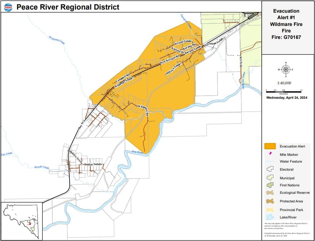
The Peace River Regional District has also issued an evacuation alert for the area shaded in yellow on the map below.
One witness who drove past the blaze shared a video on Facebook, saying they could feel the heat in their car as they drove by.
The BCWS website says the suspected cause of the fire is human activity.
According to DriveBC, as of Thursday morning, Highway 97 between Stone Creek and Kurjata Subdivisions is reduced to single-lane alternating traffic, guided by a pilot car.
The PRRD says anyone in the following areas should evacuate immediately.
Residents must evacuate immediately in the following areas: directly west of Bisset Creek, south to the Pine River, east of Wildmare Creek and all properties on the north side of the highway.
Earlier this morning, the PRRD rescinded the evacuation order in the following areas: directly west of Bisset Creek, south to Pine River, and east to Wildmare Creek.
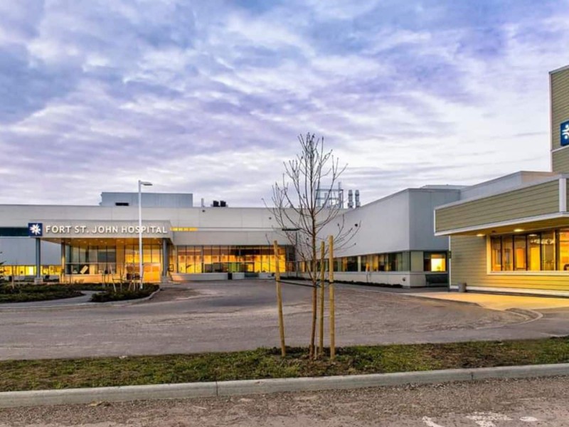
For Emergency Support Services go to Chetwynd Municipal Office at 5400 Hospital Road in Chetwynd, where the ESS is set up for evacuees.
Energeticcity.ca will update this story as more information becomes available.
Stay connected with local news
Make us your
home page
Authors

Related Articles

Award-winning Indigenous activist to be keynote speaker at Spark conference
Ashley Callingbull is an actress, model and First Nations activist who will make a keynote appearance at the Spark Women’s Leadership Conference in Fort St. John in 2026.
Fort St. John birthing centre closes for 24 hours due to ‘staffing shortage’
The birthing centre in Fort St. John will be closed until 8 a.m. on April 3rd due to “staffing shortages.”

Northern Health warns of two new measles exposures in Fort St. John
Northern Health is warning residents in Fort St. John of two potential measles exposures on March 17th.
