
Provincial government announces 45,000 hectares of protected lands in northeast B.C. for the next decade
The new protected area – named the K’ih tsaa?dze Protection Area – overlaps with Doig River’s tribal park of the same name, which was first dedicated in 2011.
FORT ST. JOHN, B.C. — The provincial government announced significant land has been named as protected for the next decade in a new protection area in northeast B.C.
The government said approximately 45,000 hectares of crown land northeast of Fort St. John have been protected for 10 years in a press release, with the aim to “safeguard caribou habitat and boreal ecosystems in Treaty 8 territory.”
In what is being described as an interim measure, it is intended to safeguard the area’s “ecological and cultural values” while long-term planning and protection discussions continue.
Local News You Can Trust
Label us as a Preferred Source to see our stories more often
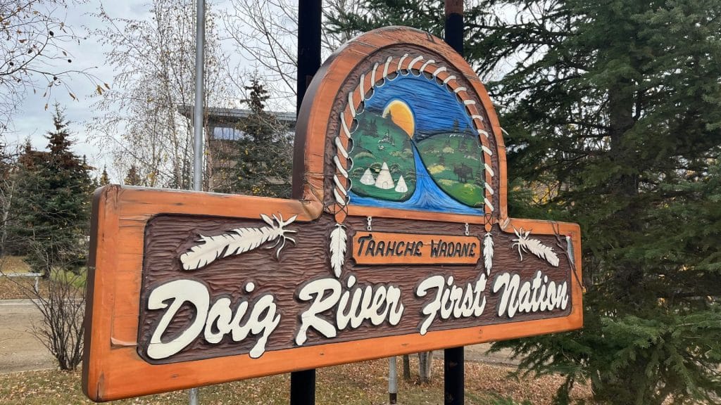
The area – labelled the K’ih tsaaʔdze Protection Area – overlaps with Doig River First Nation’s (DRFN) K’ih tsaaʔdze Tribal Park, an area DRFN first dedicated in 2011 near the Alberta-B.C. border.
According to the provincial government’s statement, the region is “culturally, spiritually and ecologically significant” to DRFN members and supports treaty rights like hunting, fishing and trapping.
The protection area is established under the Environment and Land Use Act (ELUA) and supported by a Forest Act-designated area.
The ELUA designation will protect the area from “new land and resource dispositions and industrial activity,” while “allowing existing lawful activities to continue,” providing “no new disturbance of the land surface” will occur.
Latest Stories
The agreement for protected land is deeply rooted in the Consensus Document, an agreement the province signed with Treaty 8 Nations in 2022, which they committed to work collaboratively with the Nations on land-use planning and cumulative effects management and identify areas for protection and enhanced management, and the new K’ih tsaaʔdze Protection Area will help advance reconciliation and those commitments.
This was after a 2021 B.C. Supreme Court ruling that found the cumulative effects of industrial development constituted a treaty infringement in northeastern British Columbia.
Forestry activities in the area will cease for at least four years, according to the release.
K’ih tsaa? Dze (pronounced kih tsad zey) is a word in the Dane-zaa language meaning “ancient spruce.”
Stay connected with local news
Make us your
home page
Authors

Related Articles
Fishing and Wildlife Compensation Program seeks new board member in region
The Fishing and Wildlife Compensation Program is dedicated to conserving and enhancing the lives of fish and wildlife in watersheds impacted by BC Hydro Dams
Taylor Public Library holds bottle drive fundraiser
The Taylor Public Library is hoping to raise funds through a bottle drive for its programming.
Northern Rockies Regional Municipality among 110 provincial projects supporting emergency operations
The Northern Rockies Regional Municipality will receive an upgraded emergency operations trailer with furniture and equipment, as part of the province’s Community Emergency Preparedness Fund