Stormy weather expected to hit northeast B.C. for the weekend, says Environment Canada
Thunderstorm warnings are expected for much of the weekend and into next week in northeast B.C.
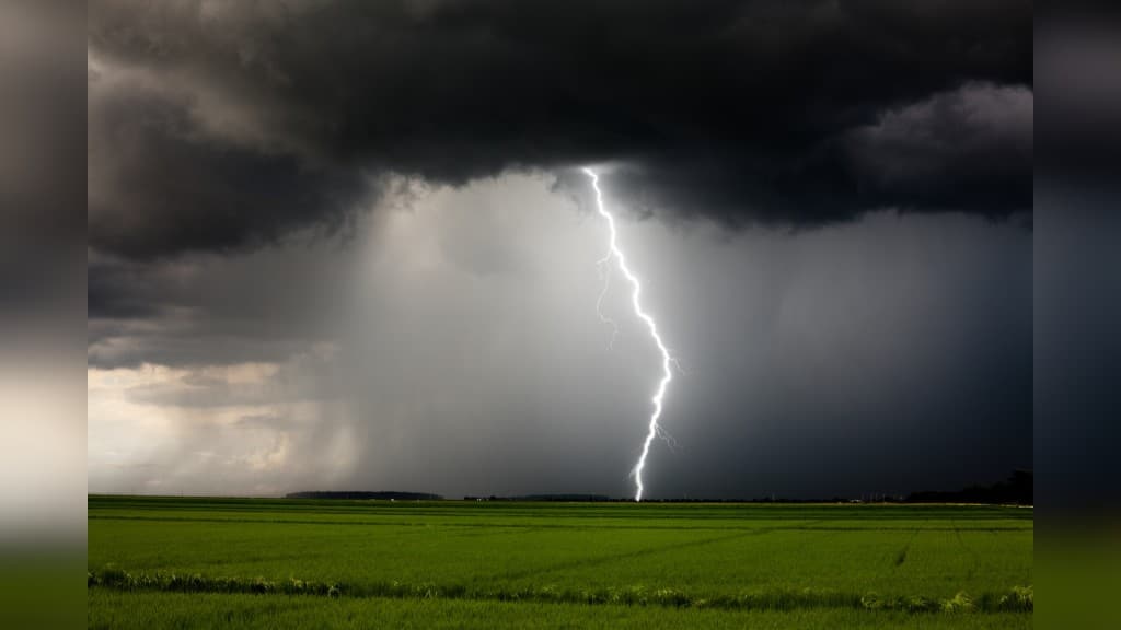
FORT ST. JOHN, B.C. — Heavy rainfall and thunderstorms are expected to make their way up to the Peace Region to begin the weekend.
Environment Canada has already issued several thunderstorm alerts throughout the week, with storms affecting the Dawson Creek, Fort St. John and Fort Nelson areas.
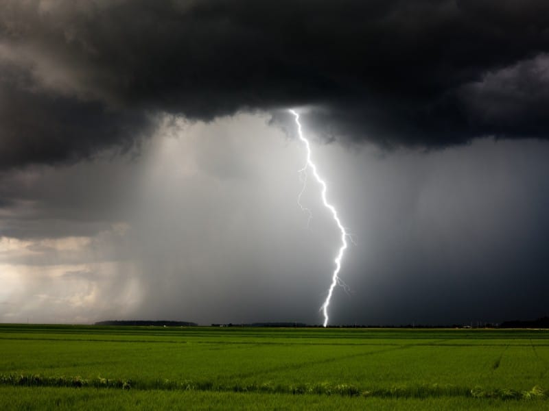
According to meteorologist Matt Loney, storm activity is moving south to nouth in the province, with it expected to hit much of northern British Columbia come Friday, June 26th.
“[It is] moving from basically south to north through the southeast into Fort St. John area,” Loney told Energeticcity.ca. “From there, we do see the potential for thunderstorms carrying forth even further north.”
“That pattern is going to repeat itself. It looks like tomorrow is when we could see thunderstorms. We’ve got severe thunderstorm watches over much of the northeast portion of the province.”
Currently, the forecast on Friday calls for thunderstorms in Fort St. John with a high of 26C, while the wet weather will carry into the weekend and much of next week as well.
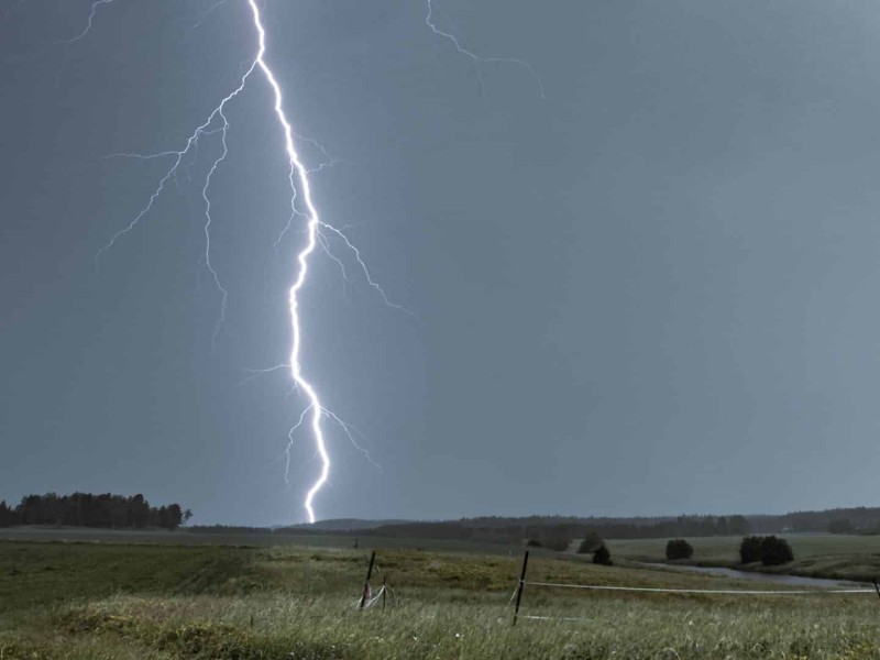
In Dawson Creek, where a thunderstorm watch has ended, showers will also take part in next week, as they will in Fort Nelson.
Latest Stories
Loney says the weather authority is monitoring the situation, and there is potential for thunderstorms and showers on Friday, with driver visibility an issue.
“Once an intense rainstorm does materialize over a main route, you can certainly experience localized challenges of visibility in that case,” said Loney.
The entire seven-day forecast for local regions is available on Environment Canada’s website.
Stay connected with local news
Make us your
home page
Authors

Related Articles
Thunderstorm advisory issued for North Peace River area by Environment Canada
A storm near Fort St. John is moving northward at a speed of 15 km/h, according to Environment Canada
Thunderstorm watch issued for Fort Nelson and Mucho Lake, Stone Mountain areas
Rain, hail, flood and decreased visibility are all being touted as a result of Environment Canada’s weather alert affecting Fort Nelson.
‘Technical issues’ causing delays to Peace River weather radar
The Spirit River (CASSR) weather radar is experiencing technical issues, leading to intermittent data availability in the Peace River region.
