Doig River First Nation presents land-use plan to Fort St. John Council
Doig River First Nation’s joint land-use with the province is being shopped around councils throughout the winter to seek public input.
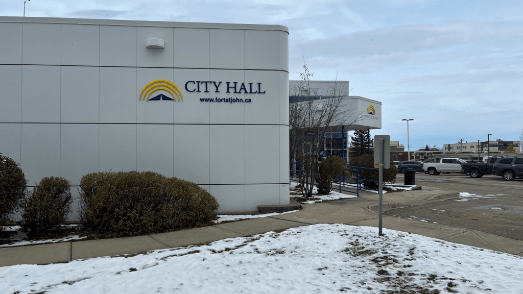
FORT ST. JOHN, B.C. — Doig River First Nation (DRFN) presented its land-use plan to Fort St. John Council at its meeting on February 23rd.
This was the latest presentation seeking input on DRFN’s joint land-use plan with the province, following presentations to the Peace River Regional District, the City of Dawson Creek and the District of Taylor throughout the winter.
While initially planned to be shown by the First Nation’s chief and council, it was led by DRFN’s lands and resources program coordinator Tyson Solomon and Ministry of Water, Land and Resource Stewardship representative Sanjay Tewari, as council was “away on business” in Victoria.
Solomon stated DRFN has developed its own land-use plan over the past two years, and is now working alongside the province to “figure out which parts” of the plan can be applied.
“We are essentially at the very first stage, which is collecting feedback and seeking engagement from municipalities,” said Solomon. “Within this planning area, we have different levels of enhanced planning.”
Both Solomon and Tewari acknowledged the land-use plan only applies to Crown land, as private land is “off the table.”
“We are not talking about private land on this joint-use plan,” said Tewari.
Latest Stories
“We are going to implement the modernized land use planning framework, which means that natural resource development decisions are more transparent, informed and balanced, and bring together the Indigenous knowledge and the western science.”
The primary subject of DRFN’s enhanced planning areas is K’ih Tsaa?dze Park, which is a tribal park straddling the B.C.-Alberta provincial border north of Fort St. John.
However, Solomon stated to city councillor Tony Zabinsky that while DRFN had discussions with the province of Alberta, the enhanced planning only applied to the B.C. side.
This is one of several initiatives DRFN has had regarding public engagement and input. On Tuesday, February 24th, the Fort St. John and District Chamber of Commerce hosted a luncheon regarding the joint use plan in Fort St. John.
The first draft of the land use plan – described by the province as a guide to positive land restoration and responsible resource development – should be tabled by 2027.
Those seeking to engage publicly can do so by completing a survey on the province’s website. The deadline for engagement is Wednesday, March 4th.
Stay connected with local news
Make us your
home page
Authors

Related Articles
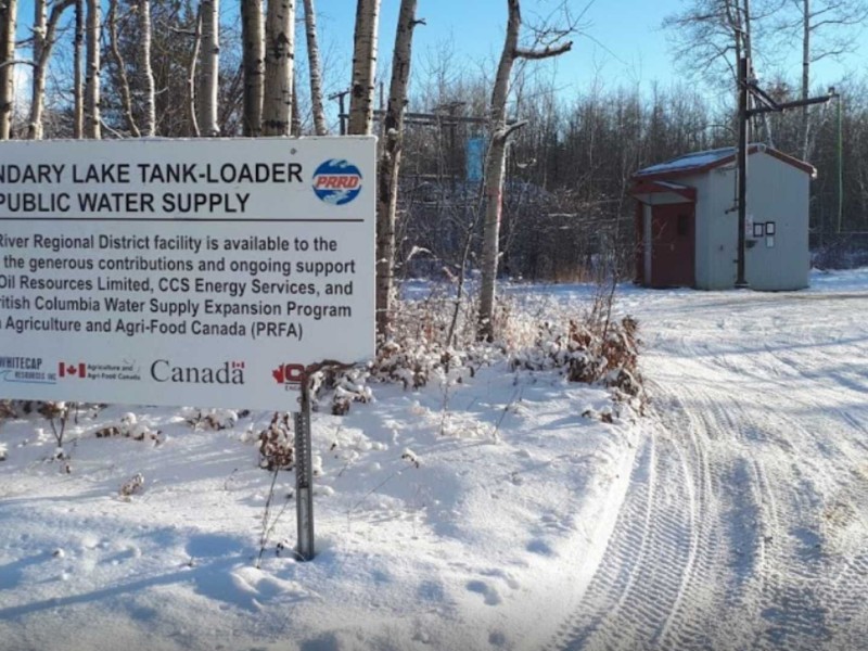
Residents advised to plan ahead of temporary water station outages
Two water stations in Goodlow will experience temporary service disruptions in June 2026.
Fort St. John firefighters’ charity ball raises nearly $200K
The Fort St. John Firefighters’ Charitable Society raised almost $200,000 at this years charity ball.
FSJ finalizes 2026 tax rates after April assessment adjustments
The City of Fort St. John has reported a $4.06 million decrease in assessments in its 2026 Tax Rates Bylaw on April 27th.
