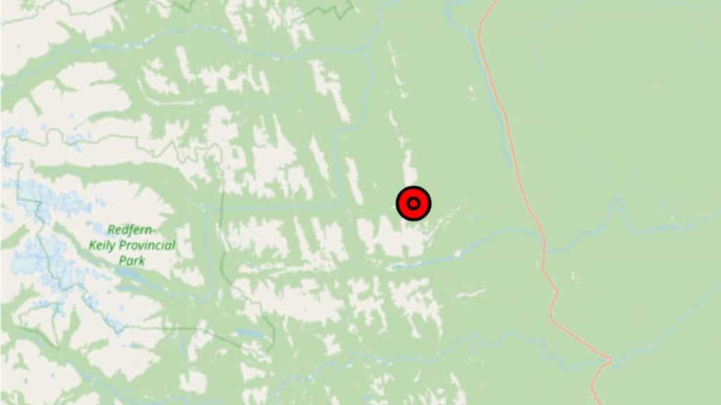
(UPDATE): Wildfire east of Redfern-Keily Provincial Park now ‘under control’
The fire, first reported on May 19th, is alongside Pocketknife Creek north of Pink Mountain.
Update, May 29th, 10:30 p.m.: This story is now out of date. The fire has become out of control again, and has grown to 1,600 hectares. To read our latest coverage of this situation, click here.
Update, May 27th, 1:45 p.m.: This story has been updated to list the wildfire as now “under control” at 125 hectares.
Update, May 24th, 11:02 p.m.: This story has been updated to list the wildfire as now ‘being held’ at 125 hectares.
Update, May 22nd, 5:44 p.m.: This story has been updated to include the current size of the fire at 118 hectares.
Update, May 21st, 7:48 p.m.: This story has been updated to include the current size the fire has burned, which is 100 hectares.
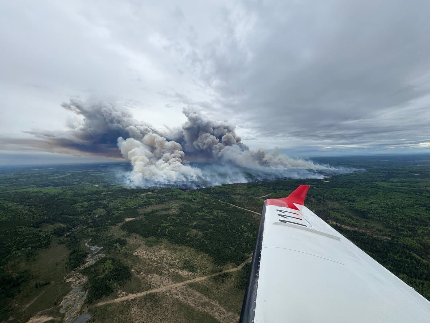
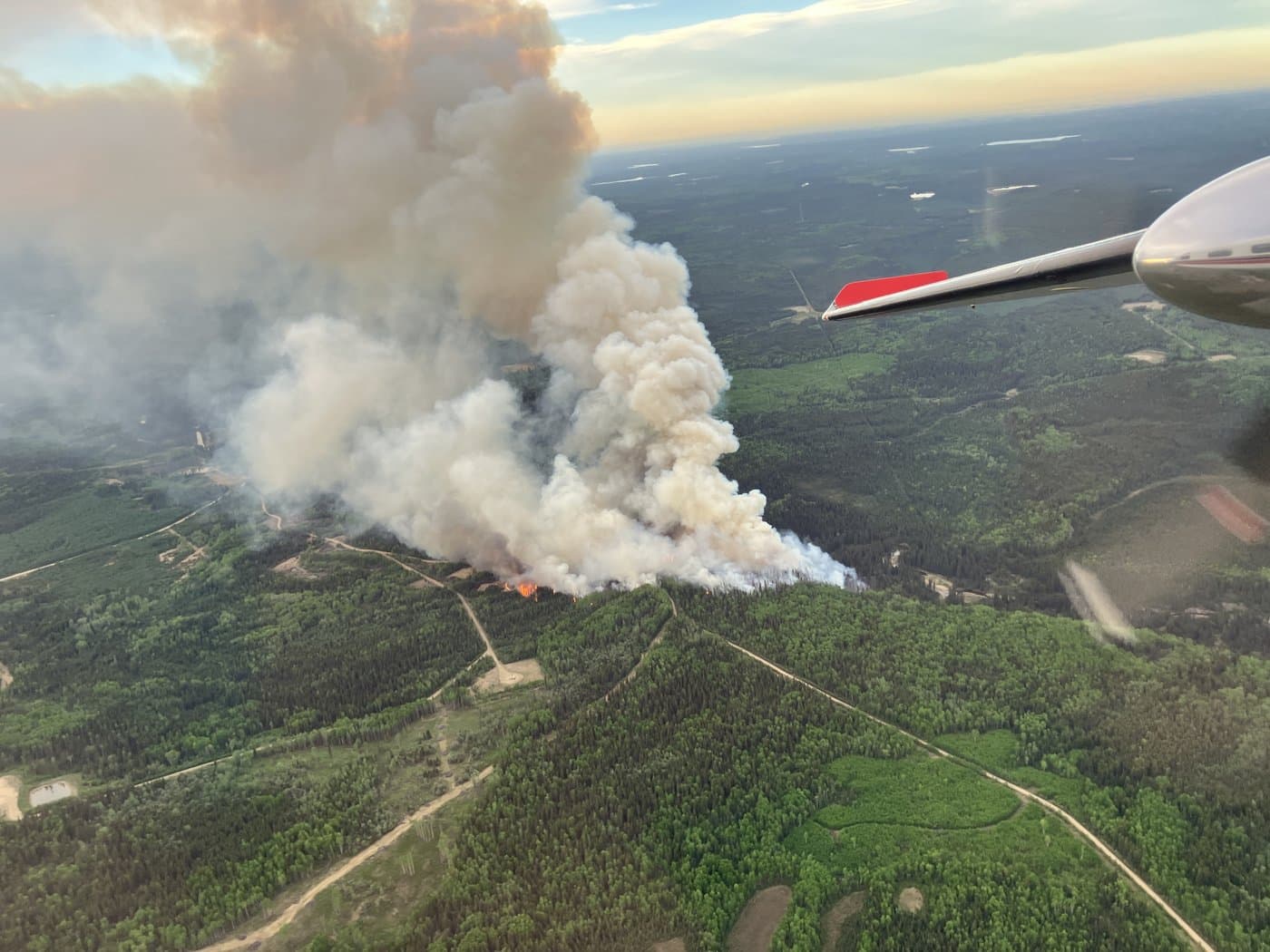
FORT ST. JOHN, B.C. — The Pocketknife Creek wildfire, near Pink Mountain and north of Fort St. John, is now listed by the BC Wildfire Service (BCWS) as under control.
First reported on May 19th, the now 125-hectare wildfire is in an area east of Redfern-Keily Provincial Park.
Latest Stories
A wildfire listed as ‘under control’ by the BCWS means a fire that is not expected to spread beyond its current perimeter.
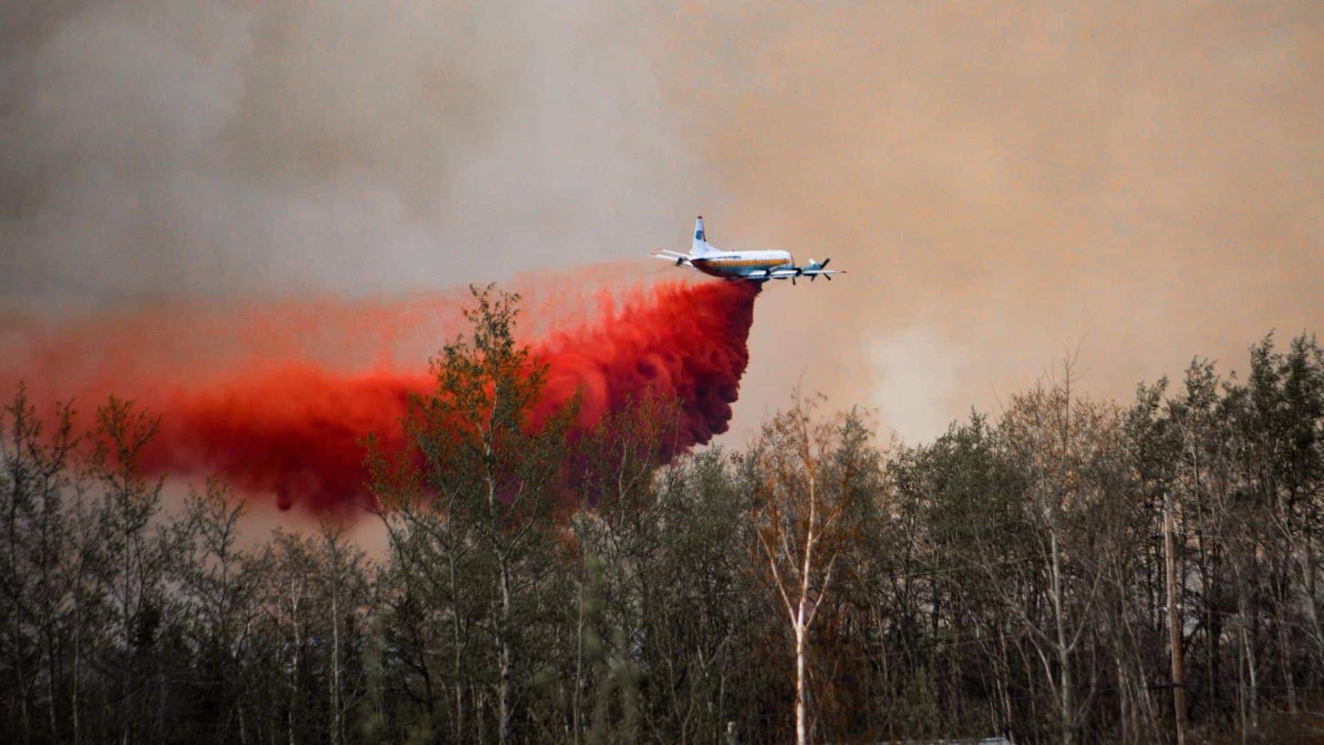
Currently, the wildfire authority has listed 40 personnel assigned to fight the fire, with aircraft being assigned to “support ground crew on priority objectives.
The fire’s suspected cause is believed to be a lightning strike.
Energeticcity.ca will update this story with more information as it becomes available.
Stay connected with local news
Make us your
home page
Authors

Related Articles
Fort St. John seeks new emergency support volunteers as wildfire season approaches
The City of Fort St. John is looking for volunteers to help the community during evacuations and other emergencies.
Nearly 200 forest fires fought in northeast B.C. during wildfire season 2025
Wildfire season 2025 saw 199 blazes in northeast B.C., while the province saw 1,350 in total.
‘Important investment’: B.C. forestry ministry praises $257.6 million federal boost to wildfire fighting
A recent $257.6 million investment to Natural Resources Canada will go towards Canada’s firefighting capacity, including in B.C.