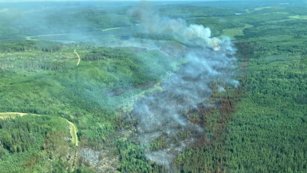
Wildfire Update: July 15th
Below are the updates to wildfires in Northeast B.C. currently listed as ‘out of control’ as of July 15th.
Below are the updates to wildfires in Northeast B.C. currently listed as ‘out of control’ as of July 15th.
Weather:
According to BCWS, a heat warning will be in effect for the next several days. Click here to read our latest story about the weather in the Peace region.
“Out of Control” fires:
According to BC Wildfire Service (BCWS), a fire described as ‘out of control’ is a wildfire that is “spreading or anticipated to spread beyond its current perimeter or control line.”
Nogah Creek
Located east of Fort Nelson, the Nogah Creek wildfire currently sits at 228,328.81 hectares in size.
Latest Stories
BCWS says the Nogah Creek fire has damaged the Rainbow Lake power line east of Fort Nelson and is working with BC Hydro to address the damage.
Crews are patrolling and mopping up priority areas on the fire’s west flank.
Fort Nelson residents travelling along the Alaska Highway and Highway 77 can expect to see smoke from several active wildfires in the Fort Nelson Zone.
Patry Creek
Discovered on May 2nd, 2024, the Patry Creek wildfire currently covers 77,531 Hectares.
This fire was determined by professional investigations to be caused by a dry lightning strike, which means it occurred without rain nearby.
Gote Creek / Tsea River
Estimated to be 138,078 hectares in size, this fire’s suspected cause is lightning.
No evacuation alerts or orders have been issued as a result of this blaze.
Lightning is suspected to have caused the re-ignition of the fire, which smoldered underneath snow during the winter.
Kome Yoyo Bypass
The wildfire near Kome Yoyo Bypass now covers an estimated 71,081 hectares, an increase of almost 20,000 hectares from July 8th.
Sikanni Park
Located south of Nogah Creek near Fort Nelson First Nation, this holdover wildfire from 2023 in the Fontas area remains unchanged at 25,488.5 hectares.
On Monday, July 15th, BCWS assigned 24 firefighters and support staff to the blaze and crews will begin establishing access on the west side of the Sikanni River.
Crews will continue to mop up and patrol operations on the northern portion of the fire.
BCWS says, parattack crews recently deployed to a remote section of the fire to active hotspots and build access for additional wildfire suppression crews.
Sahdoanah Creek
Based on the last estimated size, the Sahdoanah Creek wildfire is an estimated 16,472 hectares.
The suspected cause is lighting.
Snowfall Creek
The Snowfall Creek fire currently sits at 22,173.97 hectares, an increase from 20,552.98 hectares on July 12th.
Fort Nelson First Nations currently has an active evacuation order in effect.
According to the BCWS, bucketing heavy helicopters actioned hot spots on this fire throughout yesterday and will continue supporting crews along the southern flank.
Crews will continue to build hose lay in support of mop-up and patrol operations along the southeast corner of the fire, and will patrol the southern edge of the fire for hot spots.
“There is an extensive amount of perimeter to be actioned, and crews are continuing to work steadily and methodically,” said BCWS.
Fires being held:
Per BCWS’ website, a fire that is ‘being held’ is defined as “a wildfire that is projected, based on fuel and weather conditions and resource availability, to remain within the current perimeter, control line or boundary.”
Tupper Creek
First discovered on Tuesday, July 9th, the Tupper Creek wildfire is currently 97 hectares in size.
The Peace River Regional District rescinded its evacuation alert for the vicinity of the Tupper Creek wildfire on July 12, 2024.
The suspected cause is lighting.
Milligan Hills
The Milligan Hills wildfire is currently being held at 2,132.63 hectares
BCWS assigned no resources to the fire today.
Fires ‘under control’:
Per BCWS’ website, a fire that’s under control is defined as “a wildfire that is not projected to spread beyond the current perimeter.”
Donnie Creek
The Donnie Creek wildfire near Beaton River now stands at 2,601.12 hectares, down from 3,323.07 hectares reported on July 7th.
BCWS says, an aerial scan of the fire was completed Sunday night and showed no areas of heat.
“Crews will remain on the fire to complete patrols along the south flank of the fire over the next operational period.”
Stay connected with local news
Make us your
home page
Authors

Related Articles
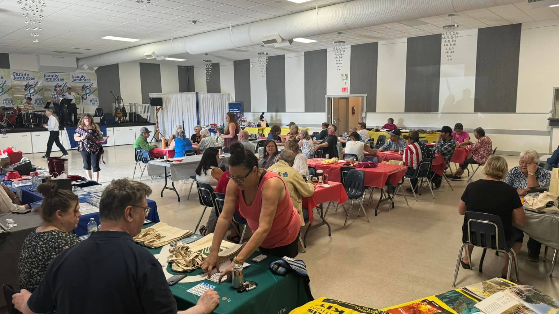
Métis Family Jamboree returns with dates at the Lido Theatre
The move to the Lido Theatre is the third-such move in as many years for the third annual Métis Family Jamboree
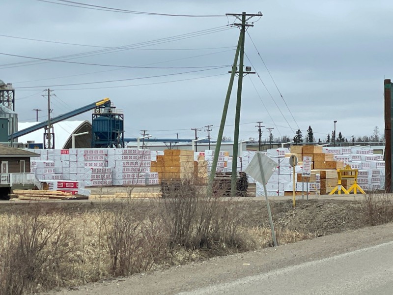
Fort St. John sawmill owned by Canfor officially sold
The Canfor sawmill in Fort St. John has been sold to Alberta-based Rocky Mountain Salvage, after being shuttered in September 2024.

South Peace People’s Choice Awards 2026 Winners
Here are the winners of the 2026 South Peace People’s Choice Awards presented by SL Enterprizes Ltd. These winners were voted by the people.
