
UPDATE: Evacuation order issued for Donnie Creek, Tommy Lakes areas
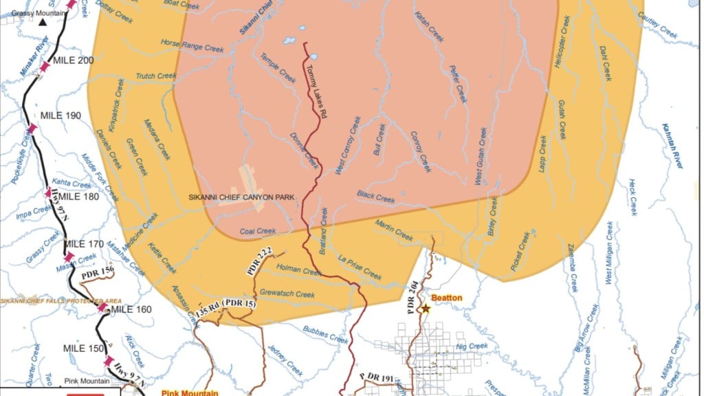
An expanded evacuation order had been issued for the Donnie Creek and Tommy Lakes areas.
Update Tuesday, May 16th at 2 p.m. – The BC Energy Regulator (BCER) said that as of Tuesday afternoon, 13 companies have reported to the regulator that they have “shut-in” operations. The BCER stated that it has not received any reports of damage.
FORT ST. JOHN, B.C. – An expanded evacuation order had been issued for the Donnie Creek and Tommy Lakes areas.
The order spans from 77 km and north on the Tommy Lakes Road, extending east to Wendy Lake to the border with the Northern Rockies Regional Municipality to the north.
Local News You Can Trust
Label us as a Preferred Source to see our stories more often
The expansion was issued due “to immediate danger to life safety caused by a wildfire. ” This area is primarily used by forestry and gas and oil industry operations, said the Peace River Regional District.
The PRRD recommends evacuees north of the 89 km mark on Tommy Lakes Road proceed south on Tommy Lakes Road to Highway 97 South to Fort St John.
The Evacuation Alert for the area was also amended and is now in effect for the following areas:
- At the northern boundary of the PRRD – 5 km east of Highway 97,
- At Sikanni Chief – 13 km east of Highway 97,
- Between km 50 and km 77 on Tommy Lakes Road,
- 20 kms east of Wendy Lake, and
- to the border with the Northern Rockies Regional Municipality in the North.
Latest Stories
The Donnie Creek fire is approximately 33,000 hectares in size.
Stay connected with local news
Make us your
home page
Authors

Related Articles
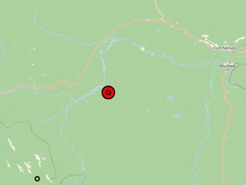
Lightning strike wildfire reported near Fort Nelson
The BC Wildfire Service has reported a wildfire near Muskwa River and Fort Nelson which was started by a lightning strike.
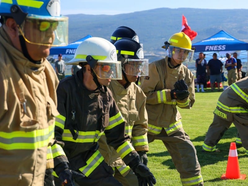
Fort St. John to showcase competition featuring province’s best Indigenous firefighters
Sixty-plus firefighters representing 10 First Nations from across B.C. will take part in the annual Indigenous Firefighting competition at Centennial Park
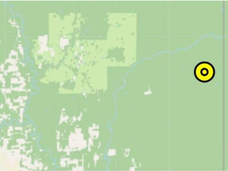
(UPDATE) Wildfire northeast of Fort St. John ‘being held’ according to BC Wildfire Service
The 1.5-hectare wildfire reported on June 24th is believed to have been caused by a lightning strike, according to BC Wildfire Service