B.C. River Forecast Centre says rivers receding after multi-day deluge
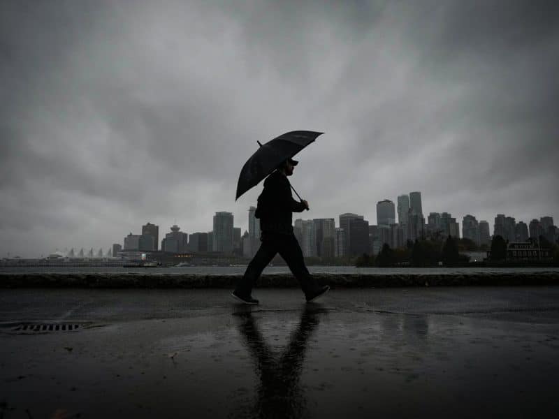
Residents of British Columbia’s south coast are breathing easier with the return of blue skies after several days of heavy rains that triggered flood advisories.
The B.C. River Forecast Centre issued a bulletin Saturday saying rivers across the region were receding following peaks that mostly reached “modest” levels.
The multi-day atmospheric river weather system prompted a state of local emergency in the Fraser Valley Regional District as waters rose in the Chilliwack River, where an evacuation alert remains in effect for 30 homes, while in Coquitlam, eight residents were evacuated by helicopter due to a mudslide on Thursday.
In Chilliwack, district official Patti MacAhonic said the area did not see heavy rain overnight Friday and she hadn’t heard from anyone needing help on Saturday.
She said the water level in a creek on her property that overflowed its banks had subsided, though she encouraged residents to continue monitoring local information channels over the weekend.
“Depending on the weather, if it got really warm, then we could get a little more flow,” said MacAhonic, the district director for the Chilliwack River Valley area.
“But I think we’re lucky.”
The B.C. River Forecast Centre downgraded a flood watch for the province’s south coast Saturday, replacing it with a lower-level high streamflow advisory.
A bulletin from the centre said the atmospheric river brought a range of 40 to 300 millimetres of precipitation to the region before easing Friday, with the heaviest rainfall recorded around Howe Sound, the Coast Mountains, Metro Vancouver’s North Shore mountains and the Fraser Valley.
Environment Canada’s weather summary for B.C. on Friday shows Coquitlam saw 151 millimetres of rain from 5 a.m. Wednesday to 4 p.m. Friday, the highest total recorded in Metro Vancouver over those days.
While snow initially fell in mid- and high-elevation areas, the centre said warming temperatures led to snowmelt and run-off later in the week. Automated weather stations recorded net snow water equivalent losses of 20 to 100 millimetres Monday to Saturday, the bulletin said.
The return of cooler temperatures has since reduced run-off, it said.
East of Chilliwack, crews were set to begin work Saturday repairing potholes that formed along Highway 1 during the heavy rain.
The B.C. Transportation Ministry issued a statement asking drivers to obey signage and slow down around road crews. Intermittent lane closures were expected during the repair work between Bridal Falls and Hope, it said.
Along with the south coast, high streamflow advisories were in effect for the Lillooet River near Pemberton and the Fraser Valley, Skagit and Similkameen regions.
The Avalanche Canada map warned the risk of slides remained considerable in the mountains around Squamish, Whistler and Pemberton, and along B.C.’s boundary with Alberta from the province’s southeast to northeast of Prince George.
In B.C.’s southern Interior, meanwhile, Environment Canada figures show several communities saw their warmest March 20 on record.
In the Salmon Arm area, the temperature of 20 C broke a 112-year-old record, with the previous daily high temperature of 16.7 C recorded in 1914.
The mercury hit 22 C in Penticton, where the last record of 17.8 C was set in 1928.
This report by The Canadian Press was first published March 21, 2026.
Brenna Owen, The Canadian Press
Stay connected with local news
Make us your
home page