Peace River Regional District issues further evacuation orders and alerts due to Kiskatinaw River wildfire
The Peace River Regional District has issued second and third evacuation orders and third and fourth evacuation alerts for the Kiskatinaw River wildfire.
Updated, June 3rd, 11 p.m.: This story was updated to include a third evacuation order and a fourth evacuation alert related to this wildfire.
FORT ST. JOHN, B.C. — The Peace River Regional District has issued second and third evacuation orders and third and fourth evacuation alerts for the Kiskatinaw River wildfire.
“PRRD orders and alerts do not affect First Nations communities on reserve lands or municipalities as they issue their own,” reads news releases on Tuesday, June 3rd.
Local News Straight
to Your Phone
Download our app today!
Available on Android and iOS devices
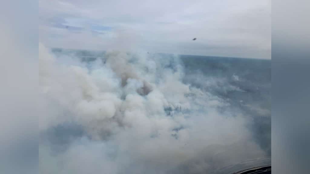
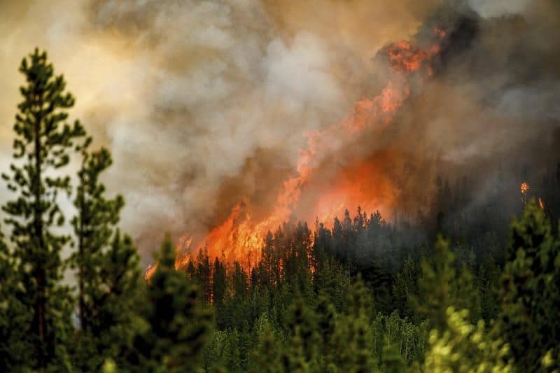
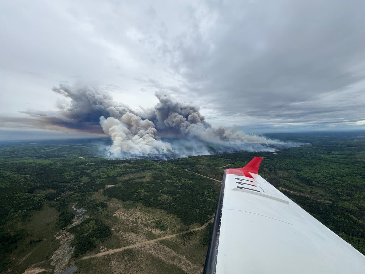
The fire, first reported on May 28th, has now reached 6,532 hectares, stretching over a part of Highway 52 and causing a closure between 209 Road and Stone Creek Road for 18.9 km east of Tumbler Ridge.
The highway is also closed between One Island Lake Road and Kiskatinaw Forest Service Road.
The affected areas for the notices are as follows.
Second evacuation order (must leave immediately):
Latest Stories
- 14km west to the west side of One Island Lake
- Approximately 10km south of One Island Lake turnoff on Highway 52 east
- Due south 5km
- Due east 20km to the B.C. border
- North 6.8km to a point along the B.C. border
- Due 2km west to the edge of Beaverlodge Lake
- Along the southern shore of Beaverlodge Lake 0.75km
- Due west to a point of intersection with Highway 52 east.
Third evacuation order (must leave immediately):
- Due west 13.1km to the B.C. border
- 1.5km south of Kiskatinaw Pit Road
- South along B.C. border 5.2 km
- Due west 14.1km
- In a westerly direction 8km
- Northerly 0.8km
- Westerly 6.9km to Highway 52 east
Third evacuation alert (must be prepared to leave on news of an order):
- Due south along the B.C. border 10.5km
- From the junction of the One Island Lake Road due east to the B.C. border
- Due 2km west to the edge of Beaverlodge Lake
- Along the southern shore of Beaverlodge Lake 0.75km
- Due west to a point of intersection with Highway 52 east
- Due west 14.5 km to a point of intersection with One Island Lake Rd 0.5km south of Noel Road
- North along the One Island Lake Rd including all addresses listed below in the electoral area: 471 185 Road, 17423 209 Road, 17411 211 Road, 17256 213 Road, 17290 213 Road, 17102 Highway 52 east, 17124 Highway 52 east, 17337 Highway 52 east, 17157 One Island Lake Road, 17411 One Island Lake Road, 1267 Weaver Road
Fourth evacuation alert (must be prepared to leave on news of an order):
- Approximately 10.4km south of the Kiskatinaw Pit Road
- Due east 14km to the B.C. border
- South along the B.C. border 5.4km
- Due west 12.8km to a point of intersection with Highway 52 east
- Due west approximately 5.3km to the northern most point of Bearhole Lake protected area
- Northwesterly direction 6.8km to a point of intersection with order three
- In a westerly direction 4.3km to a junction with Highway 52 east
Energeticcity.ca will update this story as more information becomes available.
Stay connected with local news
Make us your
home page
Authors

Related Articles
BC Wildfire Service readies for 2026 season with record 2,400 firefighter applications and more equipment in Prince George depot
The BC Wildfire Service has received around 2,400 firefighter applications and improved its equipment depot in Prince George in preparation for the wildfire season 2026, it said in a press release.
Fort Nelson community forest uses salvageable lumber funds for replanting
The Fort Nelson First Nation and Northern Rockies Regional Municipality gave an update on the sales of salvageable wood in its community forest.
Fort St. John seeks new emergency support volunteers as wildfire season approaches
The City of Fort St. John is looking for volunteers to help the community during evacuations and other emergencies.