(UPDATE) BCWS rates parts of Peace region as ‘extreme’ fire risks
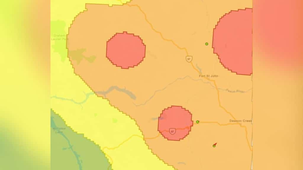
An area to the east of Fort St. John has been designated as in “extreme danger” of wildfires by the BC Wildfire Service (BCWS).
Updated May 26th, 12:20 p.m.: The three areas described in this article as “extreme” fire risks have been lowered to “high risk” by the BC Wildfire Service. The surrounding area remains rated as high risk.
Original article below:
FORT ST. JOHN, B.C. — A spot near Fort St. John is considered extremely at risk of wildfires right now by the BC Wildfire Service (BCWS).
Local News Straight
to Your Phone
Download our app today!
Available on Android and iOS devices
According to the latest fire danger rating map from BCWS, an area to the east of the city has been designated as an “extreme danger,” the highest available rating.
Two other places in the Peace region – one near Halfway River and the other west of Chetwynd – have also received an extreme rating.
Ratings are based on the Canadian Forest Fire Danger Rating System, a national standard for denoting the risk of a wildfire starting in the area.
Those small pockets rated as extreme dangers exist within a much larger area of the Peace region rated as high-risk, including Fort St. John, Dawson Creek, Fort Nelson, Chetwynd and Tumbler Ridge.
Latest Stories
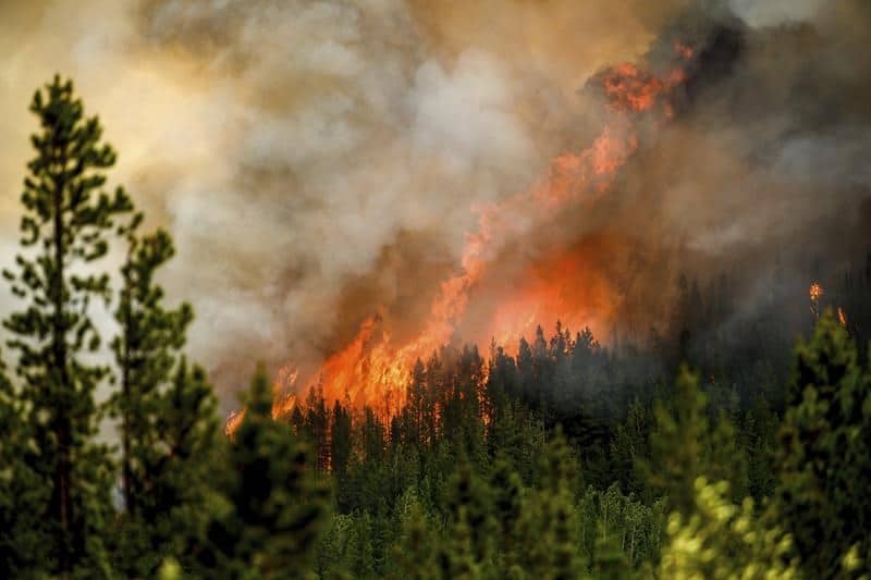
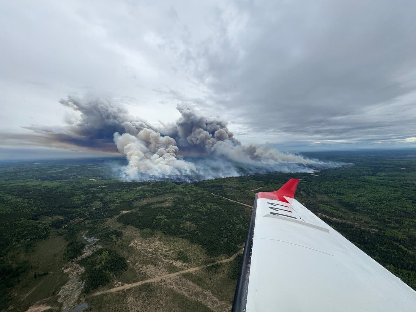
This rating update comes after an out-of-control wildfire ignited in the Redfern-Keily Provincial Park area. As per BCWS’ latest update, the fire still currently sits at 118 hectares in size.
Stay connected with local news
Make us your
home page
Authors

Related Articles
BC Wildfire Service readies for 2026 season with record 2,400 firefighter applications and more equipment in Prince George depot
The BC Wildfire Service has received around 2,400 firefighter applications and improved its equipment depot in Prince George in preparation for the wildfire season 2026, it said in a press release.
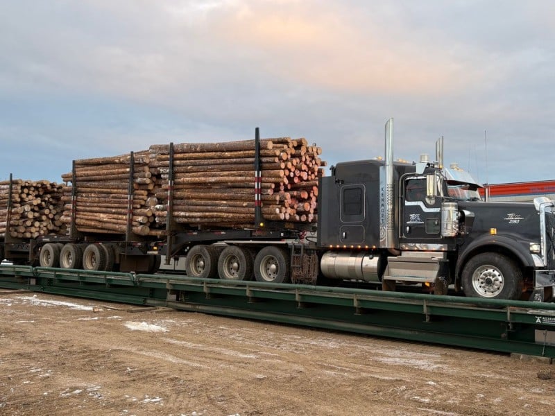
Fort Nelson community forest uses salvageable lumber funds for replanting
The Fort Nelson First Nation and Northern Rockies Regional Municipality gave an update on the sales of salvageable wood in its community forest.
Fort St. John seeks new emergency support volunteers as wildfire season approaches
The City of Fort St. John is looking for volunteers to help the community during evacuations and other emergencies.