Wildfire Update: May 16th, 2024
Below are the updates to all wildfires located in northeast B.C. listed as “out of control” and “being held” as of May 16th, 2024.
FORT ST. JOHN, B.C. — Below are the updates to all wildfires located in northeast B.C. listed as “out of control” and “being held” as of May 16th, 2024:
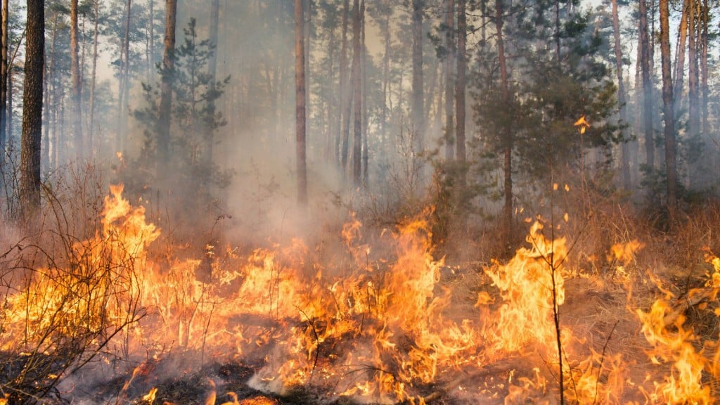
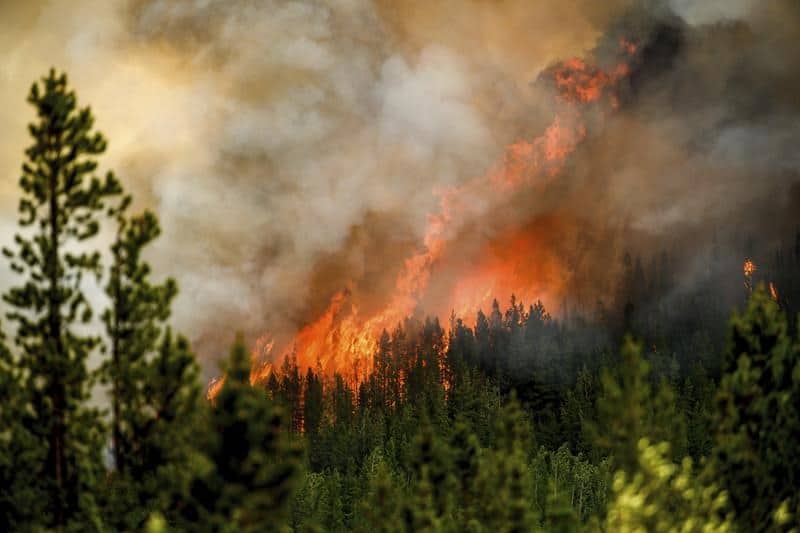
“Out of Control” wildfires:
BCWS defines an out-of-control wildfire as “a wildfire that is spreading or anticipated to spread beyond the current perimeter or control line.”
Local News Straight
to Your Phone
Download our app today!
Available on Android and iOS devices
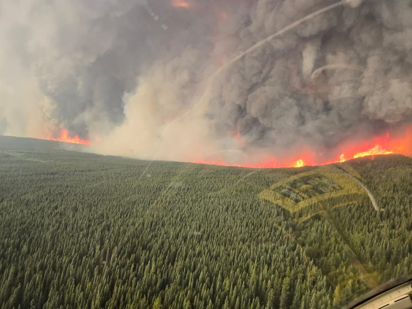
Parker Lake
The Parker Lake wildfire is currently 12,329 hectares in size. Click here to view our latest story on this fire.
BCWS has designated the blaze as a “wildfire of note,” meaning it is “highly visible or poses a potential threat to public safety.”
Nogah Creek, Patry Creek and Fontas area
Latest Stories
The Nogah Creek wildfire, located east of Fort Nelson, is currently 83,567 hectares in size, and the wildfire in the Patry Creek area north of Fort Nelson is 71,818 hectares in size.
A third fire, 35,777.2 hectares in size, is also out of control in the Fontas area, south of the Nogah Creek fire and near the Fort Nelson First Nation.
The three fires were all holdovers from 2023 which re-ignited after smouldering during the winter.
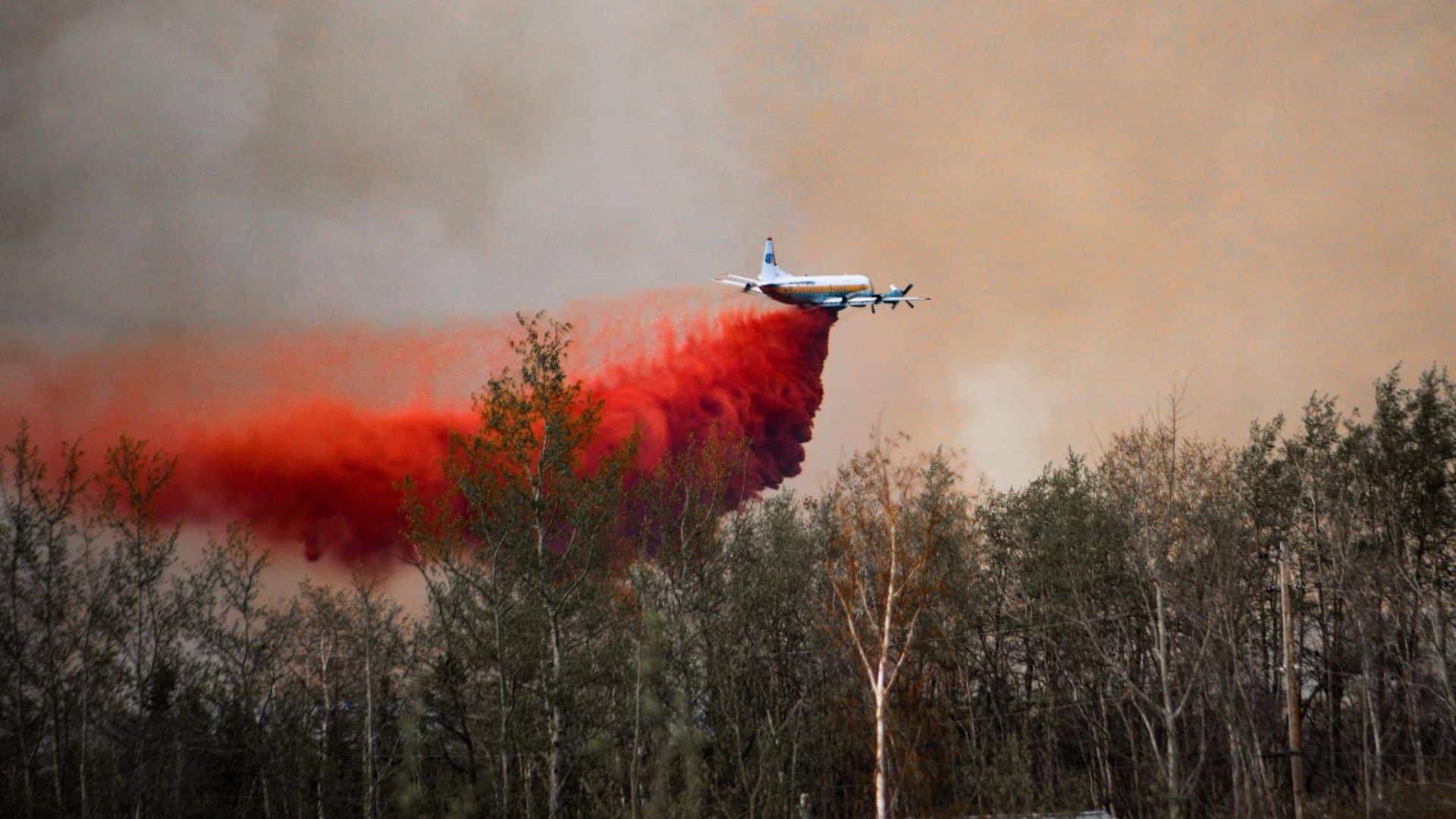
BCWS suspects the cause of the fires to be lightning. Like the Parker Lake blaze, the Patry Creek fire is also listed by the BCWS as a ‘wildfire of note.’
DriveBC says both Highway 77 to the Northwest Territories border and Highway 97 north of Wonowon to north of Fort Nelson are closed in both directions as a result of the fire.
There is currently an evacuation order for all three wildfires. The evacuation map and more information can be found here.
Komie Lake
The suspected cause of the Komie Lake fire, now standing at 10,586 hectares, is a lightning strike.
The fire is located northeast of Fort Nelson.
After smouldering during winter, this fire, which was a 2023 holdover, re-ignited on May 10th. No evacuation orders have been issued as a result of this fire.
Kome Yoyo Bypass
Located in the area northeast of Fort Nelson, the Kome Yoyo Bypass wildfire sits at 827 hectares.
The suspected cause of the fire is lightning.
BCWS says there is a full response to this fire, according to their latest update.
Gote Creek/Tsea River
The wildfire in the Gote Creek/Tsea River area is currently 35,012 hectares.
It is a holdover wildfire from 2023, smouldering under the snow during the winter and was re-lit on May 11th.
The suspected cause, according to the BCWS, is lightning.
Petitot River
First reported on May 11th, the holdover fire in Petitot River, located northeast of Fort Nelson, is suspected to have been caused by lightning. It currently sits at 10,672 hectares in size.
The fire is a holdover from 2023, which smouldered during the winter.
BCWS has issued a “full” response, and no evacuation orders have been issued.
Wildfires “Being Held”:
BCWS defines a fire that is being held as “a wildfire that is projected, based on fuel and weather conditions and resource availability, to remain within the current perimeter, control line or boundary.”
Doig River First Nation
The wildfire located near Doig River First Nation northeast of Rose Prairie is currently at 650 hectares.
Both the First Nation and Peace River Regional District issued evacuation orders on May 13th, with most evacuees taking refuge in Fort St. John.
Doig River First Nation also issued a state of emergency, set to last until at least May 28th.
The suspected cause, according to BCWS, is human activity.
Cameron Lake
Located approximately 25 kilometres south of Hudson’s Hope, the wildfire in Cameron Lake has been reported as ‘being held’ as of May 15th, according to the BCWS.
The fire was discovered on May 12th and quickly grew to 300 hectares.
It is currently listed at 295 hectares, with BCWS having sent a full response to combat the flames.
The District of Hudson’s Hope issued a statement on May 13th via Facebook, saying two full attack crews and a unit crew, along with helicopters and tankers, were on the scene.
BCWS says the suspected cause of this fire is believed to be human activity or a “fire of undetermined cause” as it continues to investigate.
Under Control:
BCWS defines an under-control wildfire as “a wildfire that is not projected to spread beyond the current perimeter.”
Hasler Creek
Discovered on May 13th, this wildfire located near Hasler Creek Forest Service Road southwest of Chetwynd is currently 3.48 hectares, according to BC Wildfire Service.
The blaze was listed as “being held” on May 15th and has since been brought under control.
Stay connected with local news
Make us your
home page
Authors

Related Articles
Northeast B.C. communities to be given $86,000 for firefighting equipment
Tumbler Ridge, Pouce Coupe and the Northern Rockies Regional Municipality are the communities in northeast B.C. to receive funding for firefighting equipment from the Ministry of Emergency Management and Climate Readiness.
Wildfire training sessions to help northeast B.C. avoid ‘dangerous positions’
North America Fire Rescue is set to host wildfire training sessions in Chetwynd and Fort St. John this spring.
BC Wildfire Service readies for 2026 season with record 2,400 firefighter applications and more equipment in Prince George depot
The BC Wildfire Service has received around 2,400 firefighter applications and improved its equipment depot in Prince George in preparation for the wildfire season 2026, it said in a press release.
