Photos for Google Maps being taken in Taylor this week
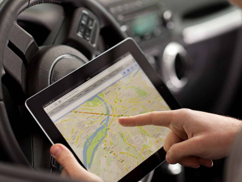
TAYLOR, B.C. – The District of Taylor is informing residents that a car will be travelling around the area to take photos for Google Maps.
Google Maps is a free-to-use map accessible through a web browser or an app for mobile devices that provides detailed information about geographical regions and sites worldwide.
On top of conventional road maps, Google Maps offers aerial and satellite views of many places. Google Maps also provides street views of some cities through photographs taken from vehicles.
The district says the car will be in the area in the coming days.
Looking for something to do?
Check out our new Events Calendar!
“Please be advised that Urban Systems will be sending a car around Taylor in the coming days to capture street views to be added to Google Maps. Smile, you could be on camera!” said the district in a Facebook post.
Stay connected with local news
Make us your
home page
Related Articles

School District 60 to host parenting seminars on children’s anxiety and wellbeing
School District 60 will be hosting three seminars in April and May for parents focused on dealing with anxiety and other issues faced by their children.
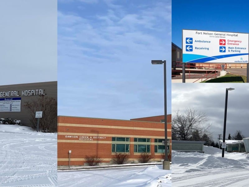
Northern Health clocks in more than 100 hours of closures in March
Northern Health recorded more than 100 hours in closures of ERs and emergency services at health centres in northeastern B.C. in March 2026.

Pair arrested after alleged liquor store robbery in Fort St. John
The Fort St. John RCMP detachment arrested a pair of individuals earlier this week in connection with an alleged robbery of a liquor store.
