What could a supercharged El Nino mean for Canada?
A rapidly warming planet due to human-caused climate change is set to amplify what forecasters say could be a supercharged El Nino, spelling possible hot and dry conditions to come for parts of Canada.
Forecasters are increasingly confident an El Nino will emerge in the coming months. El Nino spikes global temperatures and has in the past fuelled catastrophic drought over Indonesia, Australia and into southern Asia, and severe flooding in South America and the Horn of Africa.
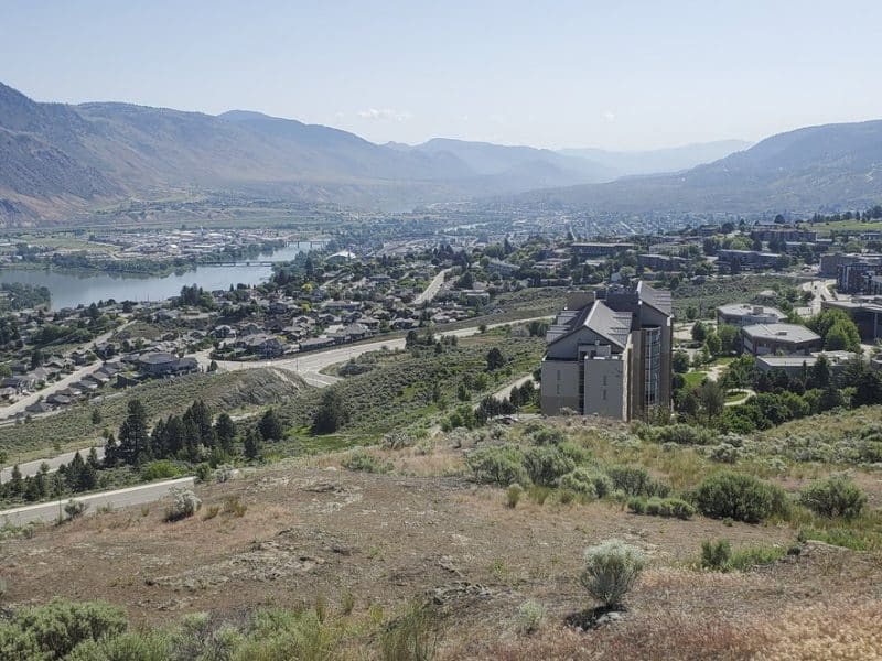
In Canada, El Nino tends to herald a warm winter. That tendency is most prominent in Western Canada, but it sometimes spills out across the rest of the country, said Bill Merryfield, a research scientist with Environment and Climate Change Canada.
Drier conditions are possible too, he said, though that’s more of a “toss up.”
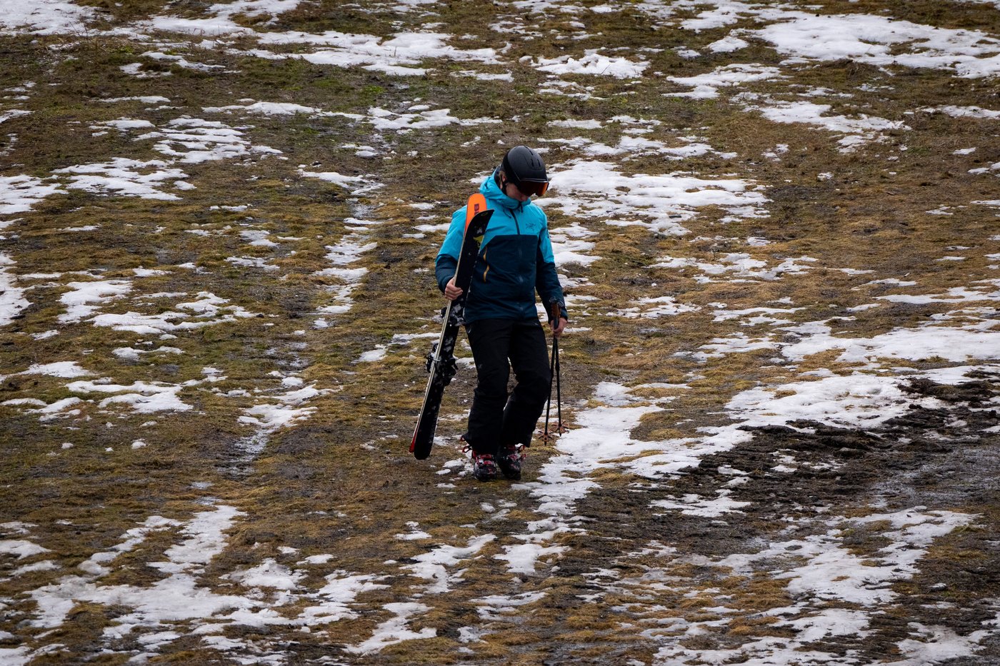
The last El Nino, a strong yearlong event from 2023 to 2024, contributed to Canada’s warmest winter on record and thinned out the snowpack. Hydroelectricity generation tightened and some ski resorts had dismal years.
Forecasters say this looming El Nino could be even stronger, and possibly bump next year past 2024 as the hottest on record.
“The models are tending to say that there’s some chance that it will in fact be the strongest El Nino in the recent historical records,” Merryfield said. “There’s still time for the forecast to come into sharper focus but that’s being indicated as a distinct possibility.”
El Nino and its opposite La Nina are part of a natural climate cycle tied to shifting patches of warm water in the equatorial Pacific.
No two El Ninos are the same, but they now all take place on a warmer planet, amplifying its impacts. A warmer ocean and atmosphere mean there’s more energy and moisture to fuel heat waves and heavy rainfall.
Unprecedented warming driven by the burning of fossil fuels has pushed global temperatures to about 1.4 C above pre-industrial averages, placing the planet on the brink of surpassing global climate targets roughly a decade earlier than scientists had initially anticipated.
While El Nino could lead to some “very extreme conditions” globally later this year, “it’s not the reason to freak out,” said Friederike Otto, a climate scientist at Imperial College London who leads the World Weather Attribution group.
“El Nino is a natural phenomenon. It comes and goes. Climate change, on the contrast, gets worse and worse and worse as long as we do not stop burning fossil fuels, and it’s already a much stronger influence on many extremes than most natural modes of variability,” Otto told reporters in a briefing this week.
To underline the point, Otto pointed to the exceptional 2023 drought in the Amazon basin. While El Nino and climate change both helped cut precipitation in the region, human-induced temperature rise was still found to be the major driver of drought, said a report by WWA, an international collaboration of climate scientists.
“Climate change is the reason to freak out, and ideally in a constructive way by doing something about it. And we do know what to do about it. We have the knowledge and technology to go very, very far away from using fossil fuels.”
The etymology of El Nino hints at its tendency to peak in winter. Meaning “little boy” in Spanish, a reference to baby Jesus, the name is said to originate with South American fishermen in the 1800s who sometimes noticed unusually warm coastal waters around Christmas time.
Under normal conditions, trade winds created by Earth’s rotation and rising warm air along the equator push the warmest waters to the west, where it piles up near Indonesia. During an El Nino, those winds weaken — sometimes even reverse — and that pile of warm water rushes back toward South America.
That warm water helps to steer storms toward the southern United States and away from Western Canada. Come winter, British Columbia and Alberta tend to get warmer, while California and Texas get wetter. And while El Nino doesn’t exert much influence over Canada’s summer or fall weather, it can lead to quieter hurricane seasons in the Atlantic.
The warmer that patch of water in the central equatorial Pacific – what forecasters call the Nino 3.4 region – the stronger the El Nino. A weak El Nino emerges when the region is between 0.5 C and 1 C above normal. When it leaps beyond 2 C, it’s considered a very strong El Nino, sometimes referred to as a super El Nino.
Rather than comparing those water temperatures to historical averages, more weather offices now determine El Nino relative to the broader tropical region to help filter out the influence of long-term climate change.
The latest forecast issued Thursday by the U.S. National Oceanic and Atmospheric Administration suggests an El Nino is likely to emerge in the next three months and continue through the winter. While it’s still unclear when it would peak, the chance of a very strong El Nino emerging sometime between November, December and January stands at about 37 per cent.
Stronger events don’t always mean bigger impacts, but they can make them more likely to occur.
The 2015-2016 El Nino was the last to peak as a very strong event. Temperatures in Canada soared to four degrees above normal that winter, the second warmest on record at the time. It was also among the driest winters recorded in the Prairies, northern B.C. and Yukon.
A devastating ice storm over parts of Ontario and Quebec in January 1998 also had its roots in one strongest recorded El Ninos.
This report by The Canadian Press was first published May 14, 2026.
Jordan Omstead, The Canadian Press
Stay connected with local news
Make us your
home page