PRRD to begin regional risk assessment and mapping project
The Peace River Regional District has begun a project involving risk mapping for environmental and climate hazards with Associated Engineering.

FORT ST. JOHN, B.C. — The regional district has begun extensively mapping environmental risks for almost a million dollars.
In the September 18th Peace River Regional District (PRRD) board of directors meeting, the district began an ambitious plan to create a comprehensive map of the region’s risks.
The project proposal was awarded to Associated Engineering, a Canadian consulting company, at a cost of $920,470.10 – excluding tax – for 18 months of work.
The PRRD closed the request for proposal on the project in August with seven qualified bids, all of which came through under the project’s budget of $1,050,000.
Specifically, the company will develop a regional risk map, risk and resilience assessments and planning that will include natural and climate-related hazards.
The project is being fully funded by a grant from the Union of British Columbia Municipalities Disaster Risk Reduction-Climate Adaptation Grant, which was awarded in May.
No information was provided on when updates would be available, but according to staff, updates will be shared with project partners and the public when appropriate.
Latest Stories
The project aligns with regional efforts to participate with the province’s Emergency and Disaster Management Act.
Stay connected with local news
Make us your
home page
Authors

Related Articles
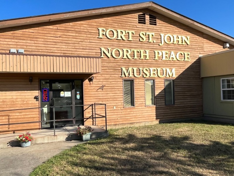
North Peace Museum offering Canada Day scavenger hunt and open house
The museum’s curator said the event on July 1st is an opportunity for residents to see the facility’s new temporary exhibit courtesy of the Charlie Lake Conservation Society.

City of Fort St. John hosting annual municipal report meeting
The City of Fort St. John will host it’s annual municipal report meeting on June 22nd at City Hall.

Elks of Canada hosting Father’s Day fishing derby at Fort Nelson’s Andy Bailey Regional Park
The two-day Father’s Day weekend event is there for families to take advantage of summer weather, says organizer.
