pgfc burn restriction corrected map image
A map of the area where the Prince George Fire Centre is restricting open burning. (PGFC)
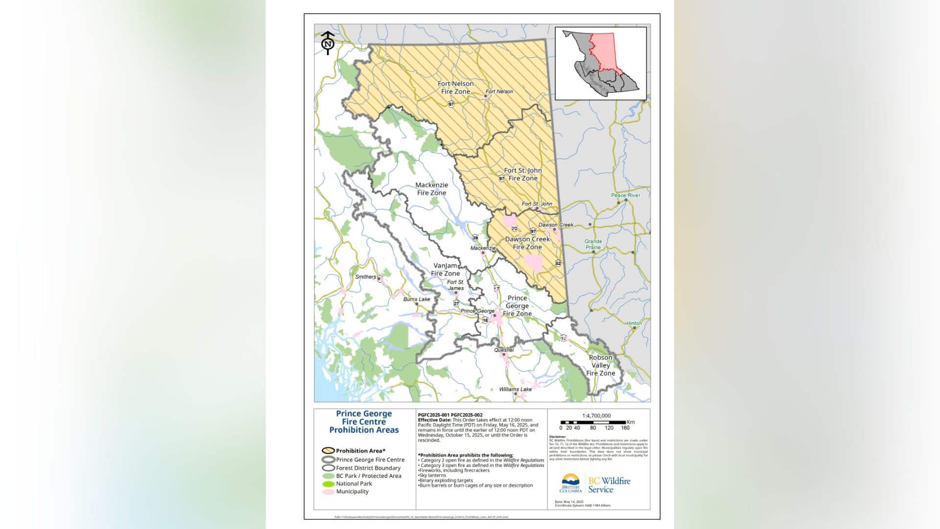
A map of the area where the Prince George Fire Centre is restricting open burning. (PGFC)
Authors

Related Articles
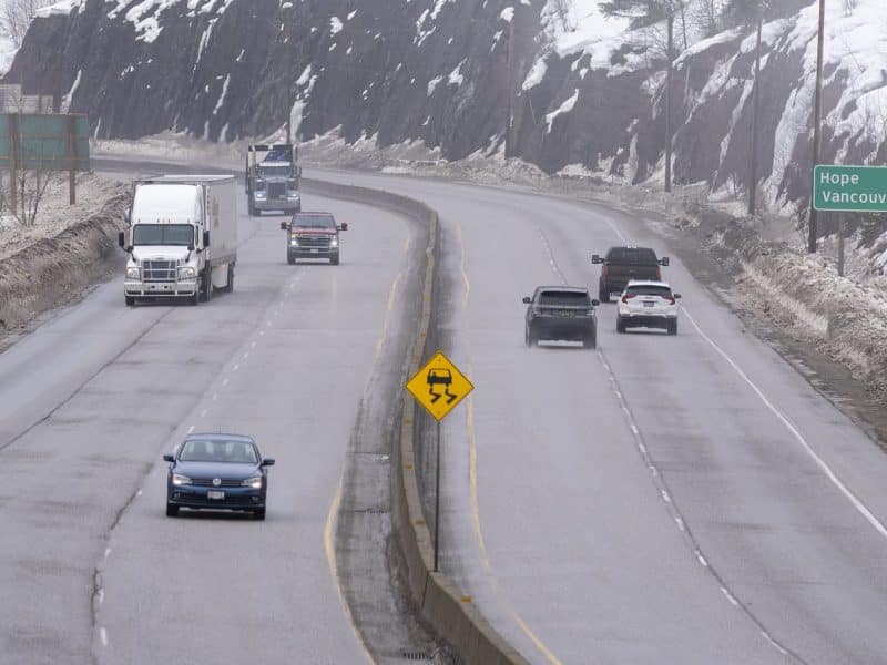
Truck blaze along in B.C.’s Coquihalla Highway sets off wildfire, closes route
MERRITT, BRITISH COLUMBIA — The main highway linking British Columbia’s Lower Mainland to the Interior has been closed in both directions after a large fire in a semi-trailer set the forest alight. RCMP say officers were called to the site in the northbound lanes of the Coquihalla Highway between Merritt
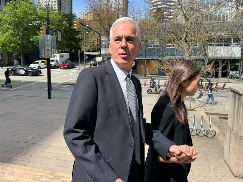
B.C. court hears Chinese police went ‘missing’ for hours during trip to Vancouver
VANCOUVER — British Columbia’s Supreme Court heard Tuesday that three Chinese police officials went “missing” for six hours during an RCMP-escorted visit to Vancouver in 2018, setting off concerns they could be trying to illicitly repatriate someone. The revelation came during testimony by RCMP Supt. Peter Tsui at the trial
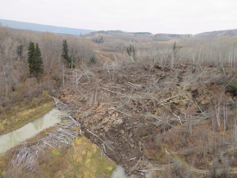
Fifty properties on evacuation order after 400-metre wide slide reactivates
FORT ST. JOHN — A 400-metre wide landslide is slipping down a hill in the small community of Old Fort in northeastern British Columbia. The B.C. Ministry of Emergency Management says in a statement the “complex slide” is in the same area where the ground has shifted in 2018 and
