Increased fire activity leads to area restrictions near Donnie Creek wildfire
Increased fire activity in the Donnie Creek wildfire has caused the B.C. Wildfire Service to implement area restrictions and heavy smoke has moved into Fort St. John.
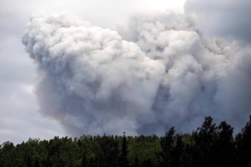
FORT ST. JOHN, B.C. – Increased fire activity in the Donnie Creek wildfire complex has caused the B.C. Wildfire Service to implement area restrictions.
The increased fire activity and a shift in the winds caused heavy smoke to move into the Fort St. John area Sunday night. To track the movement of wildfire smoke in B.C. and the rest of Canada, head to www.firesmoke.ca.
As of Sunday evening, the B.C.Wildfire Service implemented the following restricted area, and residents are asked not to enter this region. The area runs from the intersection of Fontas River and the British Columbia-Alberta border at coordinate A (57º 56.548’N, -120º 00.000’W); South to the intersection of Chinchaga River and the British Columbia-Alberta border to coordinate B (57º 19.317’N, -120º 00.000’W); West to an area 13 km S.E. of Hunter Lakes at coordinate C (57º 19.317’N, -120º 48.738’W); North to an area 4 km N of the confluence of Kahntah River and Cautley Creek at coordinate D (57º 56.548’N, -120º 48.738W); and East to the starting point coordinate A.
Local News Straight
to Your Phone
Download our app today!
Available on Android and iOS devices
A full map of the restriction can be found on the bans and restrictions page of the B.C. Wildfire Service’s website.
The fire has also resulted in barriers being set up on the Fontas Road. The road is closed due to low visibility and impassable areas past the 36km mark.
Stay connected with local news
Make us your
home page
Authors

Related Articles

Dance fundraiser to be held in honour of Dawson Creek firefighter captain injured on Highway 97
June’s Boots and Beer fundraiser is in aid of the Dawson Creek Firefighters Charitable Society for an unnamed hospital project.
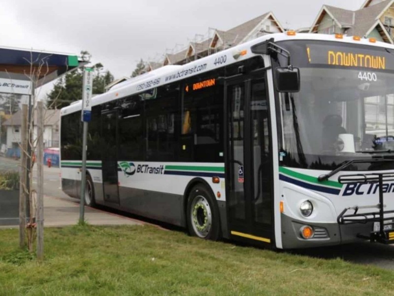
Fort St. John bus services resume after being suspended amid winter weather
Winter weather suspended bus services in Fort St. John for approximately four hours on April 7th, but they have now been resumed.
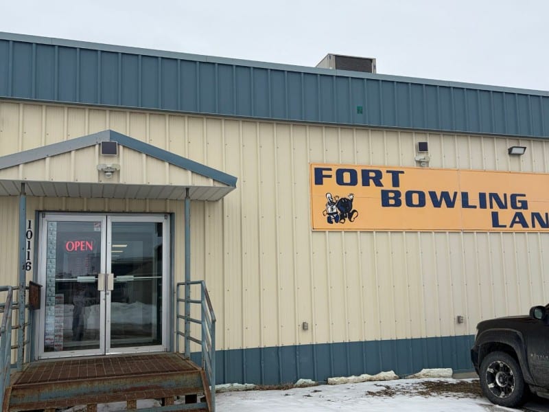
Fort St. John bowling alley suffers third break-in in three years
Alarms were triggered at Fort Bowling Lanes on April 6th at 3:24 a.m.: the third break in at the bowling alley in the last three years.
