Evacuation order lifted for One Island Lake
The Peace River Regional District has lifted the last evacuation order for the West Kiskatinaw River wildfire.
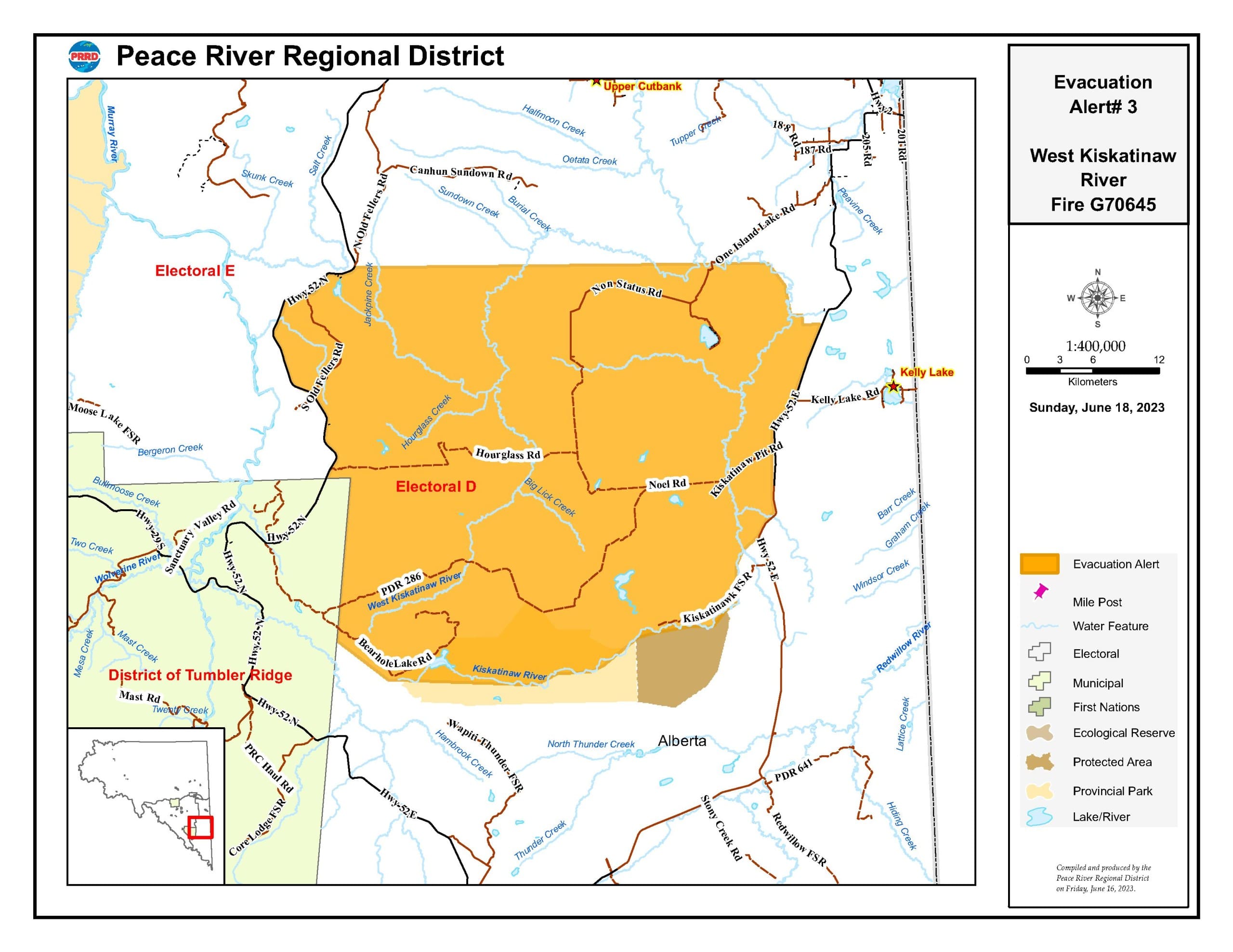
DAWSON CREEK, B.C. – The Peace River Regional District has lifted the last evacuation order for the West Kiskatinaw River wildfire.
Based on recommendations from B.C. Wildfire Service, the Peace River Regional District, has rescinded West Kiskatinaw River Evacuation Order #4 as of June 18, 2023, at 0900 hours (9:00 a.m.).
The order was in place for the community of One Island Lake and the areas listed below, and residents can return home. They are now under West Kiskatinaw River Evacuation Alert #3. The following areas are affected by this change:
Local News You Can Trust
Label us as a Preferred Source to see our stories more often
- Starting at the intersection of Hwy 52 N and N Old Fellers Road, travel east to the One Island Lake bridge;
- following the Kiskatinaw River southeast to a point of intersection with Cutbank Creek;
- Continue east along Cutbank Creek from 1 km;
- Continue south for approximately 1 km, then travel east for 1.5 km to Hwy 52 E;
- Continue south along the west side of Hwy 52 E to km 195;
- Continue west along the Kiskatinaw River to the district of Tumbler Ridge boundary, including the Kiskatinaw FSR and Bearhole Lake Road;
- Continue north along the district of Tumbler Ridge boundary to km 80 Hwy 52 N; and
- Continue north along the east of Hwy 52 N to the intersection of Hwy 52 N and N Old Fellers Road.
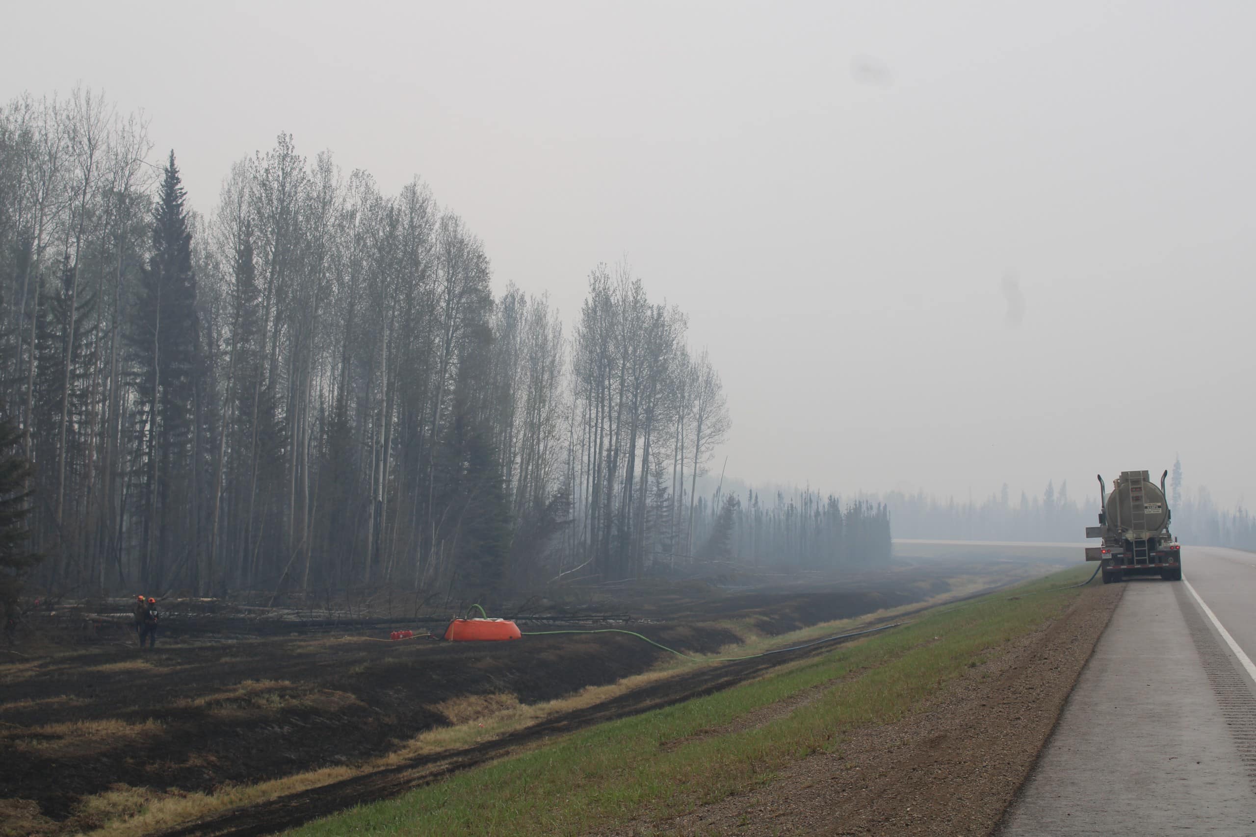
The West Kiskatinaw River wildfire remains at approximately 25,095 hectares.
For updates on the wildfire, click here. To see a map of the evacuation alert, click here.
Stay connected with local news
Make us your
home page
Authors

Related Articles
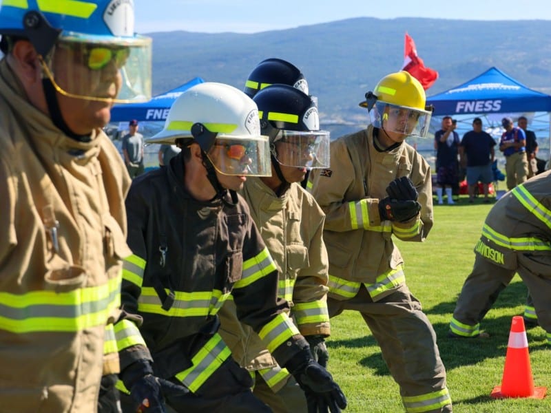
Fort St. John to showcase competition featuring province’s best Indigenous firefighters
Sixty-plus firefighters representing 10 First Nations from across B.C. will take part in the annual Indigenous Firefighting competition at Centennial Park

(UPDATE) Wildfire northeast of Fort St. John ‘being held’ according to BC Wildfire Service
The 1.5-hectare wildfire reported on June 24th is believed to have been caused by a lightning strike, according to BC Wildfire Service
Northern Rockies Regional Municipality requests a review of the Parker Lake Wildfire investigation
The Northern Rockies Regional Municipality has requested a review into why the Parker Lake Wildfire Investigation was stopped.
