Area restrictions go into place near the West Kiskatinaw and Peavine Creek wildfires
The B.C. Wildfire Service is implementing area restrictions due to the West Kiskatinaw and Peavine Creek wildfires.
TUMBLER RIDGE, B.C. – The B.C. Wildfire Service is implementing area restrictions due to the West Kiskatinaw and Peavine Creek wildfires.
Restrictions took effect at noon on Saturday and cover an area located 21 kilometres east of Tumbler Ridge and 44 kilometres southwest of Dawson Creek. The size of the area restriction reflects the continued need to protect the public in areas with ongoing fire suppression activities and hazardous fire behaviour conditions.
The West Kiskatinaw fire is over 19,714 hectares, and the Wildfire Service says fire behaviour has decreased but is still considered a rank-four fire. On Saturday, June 10, temperatures are expected to decrease slightly from the above-seasonal temperatures. The wind has shifted to primarily west/southwest winds. This wind shift is expected to drive the West Kiskatinaw wildfire toward the east, away from the community of Tumbler Ridge.
Local News Straight
to Your Phone
Download our app today!
Available on Android and iOS devices
Ground crews, heavy equipment and structure protection personnel, are working in areas where access is not impaired by visibility and fire behaviour.
Unit crews are assessing potential machine guard lines and identifying access routes and staging areas. A unit crew and heavy equipment continue to work on containment in the area where the fire crossed Highway 52 East.
The Peavine Creek fire is listed at 4,500 hectares, and the wind has shifted to primarily west/southwest winds. Structure protection equipment is being established in the One Island Lake area.
Latest Stories
The following area will be restricted until September 30, 2023, or it is rescinded. The order applies to crown land within the geographic boundary outlined below and shown on the map provided:
- Starting at the intersection of Highway 52 (Heritage Highway) and Babcock Creek at coordinate A (54° 59.502, -120° 51.410) when heading north to Bear Hole Lake Road at coordinate B (55° 4.850, -120° 50.103) then heading east to the intersection of Bear Hole Lake Road and the Thunder Mountain Snowmobile Trail at coordinate C (55° 2.444, 120° 45.222). Then moving east along the Thunder Mountain Snowmobile Trail to coordinate D (55° 1.094, 120° 43.225) then heading east to coordinate E (55° 0.403, 120° 21.684). Heading northeasterly to coordinate F (55° 1.341, 120° 18.921) then northeasterly to coordinate G (55° 2.125, 120° 17.966). Heading north to the Kiskatinaw Forest Service Road road to coordinate H (55° 5.382, 120° 16.781) following the road up to the intersection with Kiskatinaw Forest Service Road at coordinate I (55° 7.165, 120° 14.632). Following Kiskatinaw FSR back to Highway 52 (Heritage Highway) at coordinate J (55° 7.182, 120° 13.180). Following Highway 52 south and west to the starting point at coordinate A (54° 59.502, -120° 51.410).
Under this Order and section 11(2) of the Wildfire Act, a person must not remain in or enter the restricted area without the prior written authorization of an official designated for the purposes of the Wildfire Act, unless the person enters the area only in the course of:
- (a) Travelling to or from his or her residence;
- (b) Using a highway as defined in the Highway Act;
- (c) Travelling through or entering the area as a person acting in an official capacity; or
- (d) Travelling through or entering the area for an approved purpose of supporting wildfire suppression activities.

Stay connected with local news
Make us your
home page
Authors

Related Articles
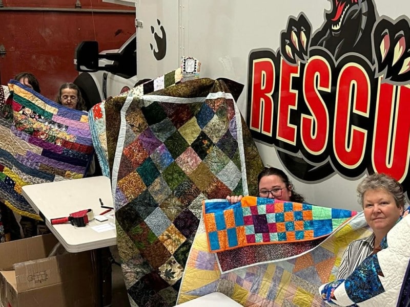
Guild distributes quilts made to spread love to Tumbler Ridge
Quilters province-wide sent pieces to Tumbler Ridge after an appeal in the wake of the tragedy in February.
City to host celebration of walking track sponsorship renewal
The City of Fort St. John is hosting an event to celebrate a renewed 15-year sponsorship licence for the walking track inside the Pomeroy Sport Centre.
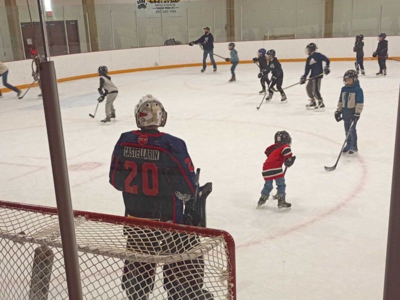
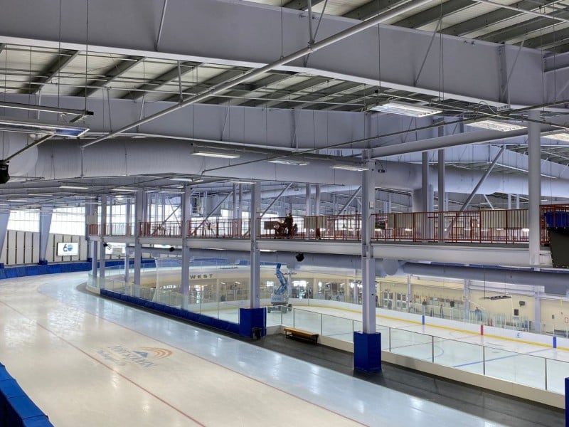
Tumbler Ridge misses top Kraft Hockeyville prize
The District of Tumbler Ridge lost out to the town of Taber, Alberta, which will get $250,000 toward arena upgrades and an NHL pre-season game. As runner up, Tumbler Ridge will be given $100,000 instead.
